Le Soreiller by Montagne d'en bas

Description
A little-known loop that passes close to the highly impressive Aiguille Dibona. The hike is to be avoided in wet weather.
The track starts next to the road around 600 m before the hamlet of Les Etages. The stony path climbs up steeply up to the foot of the rock, before continuing along a series of rocky corniches and finally reaching a grassy ridge. Walk around this ridge on the west-facing slope, before reaching the summit at an altitude of 2760m. You'll then see the Aiguille Dibona and the Refuge du Soreiller, just below. It then takes around 20 minutes to walk down to the hut.
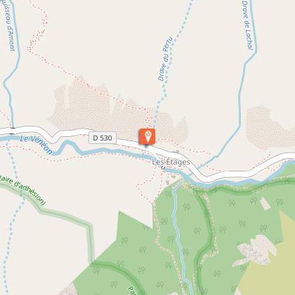
Return to the car along the usual Soreiller path.
Technical Information
Altimetric profile
Starting point
Steps
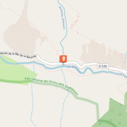
Départ : 600 m environ avant les hameau des Etages
Le sentier démarre en bordure de route. Il s'élève très rapidement pour rejoindre le pied de roche. Cette partie est raide et caillouteuse.
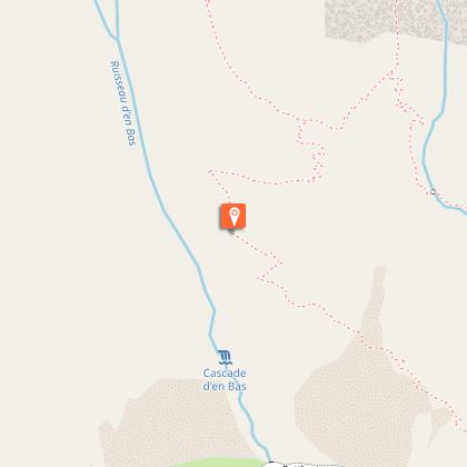
Crête herbeuse
Le chemin continue ensuite dans un ensemble de vires rocheuses avant d'arriver au pied d'une bonne crête herbeuse. On contourne cette crête par le flan Ouest pour en rejoindre le sommet vers 2760m
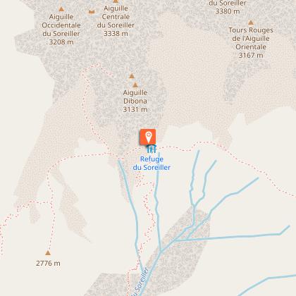
Refuge du Soreiller
Soufflez vous êtes arrivé au sommet !D'ici, vous pourrez admirer l'Aiguille Dibona (perché à 3131m d'altitude) Descendre par le sentier classique du Soreiller que vous trouverez directement en sous le refuge.
Arrivée !
Date and time
- From 15/05/2024 to 31/10/2024
- From 15/05/2025 to 31/10/2025
Additional information
Tips
View of the climbers from the refuge terrace.
Updated by
Oisans Tourisme - 24/06/2024
www.oisans.com
Report a problem
Open period
From 15/05 to 31/10.
Subject to favorable snow and weather conditions.
Contact
Phone : 04 76 80 50 01
Email : info-berarde@oisans.com
Website : www.oisans.com/stations-et-villages/saint-christophe-oisans-berarde/
Type of land
Stone
Data author
