Alert
Alerts
Type of practice
Racing biking
Easy
12h
Presentation
Description
Map
Ratings and reviews
See around
BL106 - Around the canal, the gateways to Sundgau

Credit : Canal du Rhône au Rhin - OT Sundgau
IGN cards

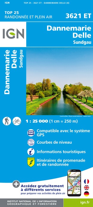
3621ET - DANNEMARIE DELLE SUNDGAU
Editor : IGN
Collection : TOP 25 ET SÉRIE BLEUE
Scale : 1:25 000
13.90€

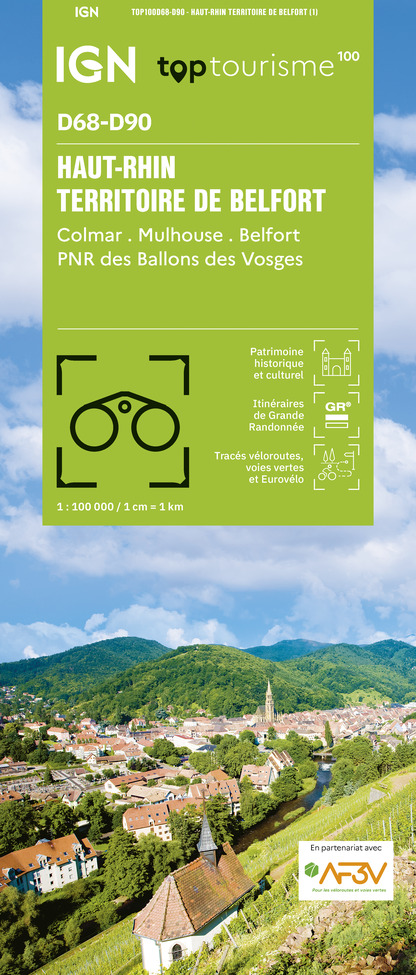
TOP100D68 - HAUT-RHIN TERRITOIRE DE BELFORT COLMAR MULHOUSE BELFORT PNR DES BALLONS DES VOSGES
Editor : IGN
Collection : TOP 100
Scale : 1:100 000
8.40€

201 ALSACE MASSIF DES VOSGES
Editor : IGN
Collection : TOP 200
Scale : 1:200 000
6.80€

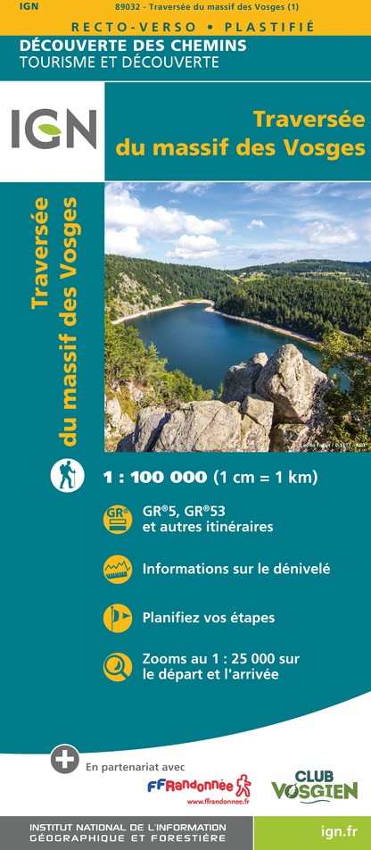
89032 - LA TRAVERSEE DES VOSGES
Editor : IGN
Collection : DECOUVERTE DES CHEMINS
Scale : 1:100 000
9.10€

D70-88-90 HAUTE-SAÔNE VOSGES TERRITOIRE DE BELFORT
Editor : IGN
Collection : CARTES DÉPARTEMENTALES IGN
Scale : 1:150 000
5.90€

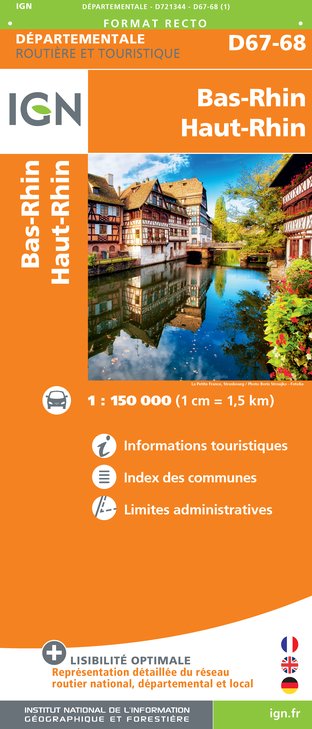
D67-68 BAS-RHIN HAUT-RHIN
Editor : IGN
Collection : CARTES DÉPARTEMENTALES IGN
Scale : 1:150 000
5.90€

D25-39 DOUBS JURA
Editor : IGN
Collection : CARTES DÉPARTEMENTALES IGN
Scale : 1:150 000
5.90€

NR09 BOURGOGNE FRANCHE-COMTÉ
Editor : IGN
Collection : CARTES RÉGIONALES IGN
Scale : 1:250 000
6.80€

SUISSE
Editor : IGN
Collection : DÉCOUVERTE DES PAYS DU MONDE IGN
Scale : 1:303 000
7.00€

EUROPE
Editor : IGN
Collection : DÉCOUVERTE DES PAYS DU MONDE IGN
Scale : 1:2 500 000
7.00€

ALLEMAGNE
Editor : IGN
Collection : DÉCOUVERTE DES PAYS DU MONDE IGN
Scale : 1:800 000
7.00€
Description
The Rhône-Rhine Canal carves a furrow through Alsace from its entry point at Valdieu, at 350 m in altitude to Brunstatt at 250 m in altitude. As you cycle along its banks from lock to lock, between Wolfersdorf and Illfurth, you can easily imagine the pace of life of the canal boatmen of yore. The trail also follows the former railway lines along the rivers Ill and Largue reminding us of a time when it was usual to travel to the Sundgau by train.
Technical Information
Racing biking
Difficulty
Easy
Duration
12h
Dist.
49 km
Type of practice
Racing biking
Easy
12h
Show more
Altimetric profile
Starting point
68210
Wolfersdorf
Lat : 47.6265534Lng : 7.1196078
Additional information
Contact
Tel : 03 89 20 10 68
Email : info@alsaceavelo.fr
Site web : www.alsaceavelo.fr/itineraires/boucles-locales/bl106-autour-du-canal-les-portes-du-sundgau-157.html
Data author

proposed by
Alsace Destination Tourisme
68000 Colmar France
Ratings and reviews
To see around