WITTYRU walking tour in Witttenheim and Ruelisheim


Description
This very varied tour takes us through the municipal banns of Wittenheim and Ruelisheim. It allows you to walk in the countryside around the two communes and to discover emblematic public facilities as well as places of worship and mining installations in the potassium basin. The start and finish of the tour is at the Wittenheim town hall. A parking lot allows you to park your car.
Technical Information
Altimetric profile
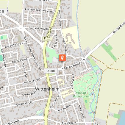
Starting point
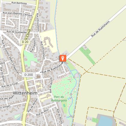
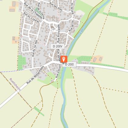
Points of interest
Town hall
Start and finish of the circuit. There is a car park where you can park your car. The building originally used as a town hall and school dates from 186# and was built to the plans of the architect Laubser.
Seigneurial mill
Former mill (seigneurial or banal mill) of the castle of the Barons of Andlau: this building bears witness to the main activity of the town for centuries, until the appearance of the textile industry in the 19th century. A renovation was undertaken in 1752, in place of an older building, as the presence of a mill is attested since the end of the 14th century. This mill ceased to operate around 1920.
Ill river
The 223 km long river has its source on the Glaserberg in Winkel with a resurgence in Ligsdorf. Its source is located to the east of the village, at a place which in 1591 was called the Illentsprung, i.e. the origin of the Ill. The latter flows into the Rhine at Offendorf downstream from Strasbourg towards Gambsheim. Before the Rhine was rectified, the Ill flowed into the Rhine at La Wantzenau. The commune of Illzach takes its name from this river.
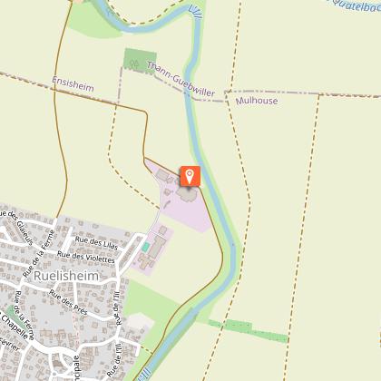
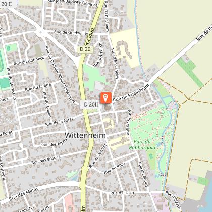
Ruelisheim wastewater treatment plant
Biological type plant. Built in 1997. Population connected: 48,000 inhabitant equivalent. Maximum urban flow: 25,000m3/day. Admitted flow treated in the storm basin in rainy weather: 820m3/hour. The sludge is dehydrated by a filter press and then composted. Saint Georges Farm This farm practices organic farming.
Saint Georges farm
This farm practices organic farming.
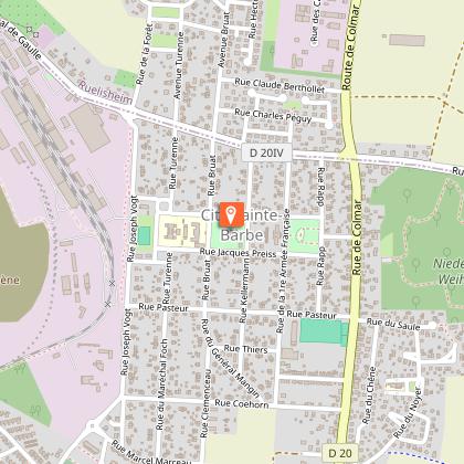
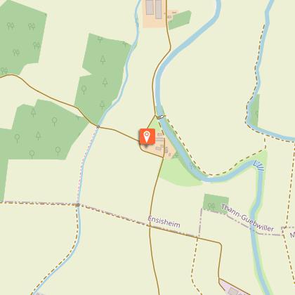
Sainte Barbe Church
The construction of the Church of Sainte Barbe began in 1928 according to the plans of the architect of the MDPA (Mines de Potasse d'Alsace), Georges Debut, and was completed in 1929. The church has been listed as a historic monument since 21 January 1993, mainly for its interior paintings, which were done between 1928 and 1931 by Georges Desvallières, founder with Maurice Denis of the Ateliers d'Art Sacré.
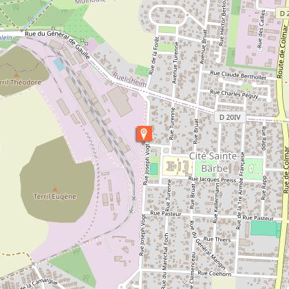
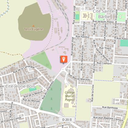
Former potash mining site Théodore
On 15 September 2011, the German mining company "Wintershalle", owner of the "Theodore" concessions, began sinking the shaft. The shaft was modernised between 1920 and 1930. Mining was stopped in 1986. The shaft extracted 67,743,935 tonnes of raw ore. The headframe of the Theodore shaft was built in 1958 to replace the original headframe dating from 1912. Visible from afar at 65 metres high, the all-metal headframe was considered a technical feat when it was built. When the shaft was shut down, it was put on the supplementary list of historical monuments on 17 August 1995.
Les Amazones pony club
This centre was opened in 1987 to save animals and help unemployed young people.
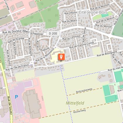
Jeune Bois nursery school
Sainte Marie Church
The first church of Sainte Marie was replaced in 1770. The one that succeeded it was destroyed during the Second World War. The bell tower collapsed on February 4, 1945 at 9:30 am. On May 19, 1957, the first stone of the new building was laid. It was built in concrete following the plans of the architects Baur and Muller. Its architecture is close to the "Perret line", the campanile is detached from the vessel. All the works of the old building (including a statue of Saint Erasmus, a Deploration of Christ from the 16th century and paintings by Bulfer from the 18th century) have been returned to their place in the current one. It was consecrated on June 18, 1959 during the "Fêtes du renouveau".
