Between Dornach and Lutterbach


Description
This semi-urban, semi-rural route crosses both the western part of the Dornach-Mer Rouge district and the Doller plain between Morschwiller and Lutterbach. The return journey takes a few minutes by tram 3 or the tram-train.
Technical Information
Altimetric profile
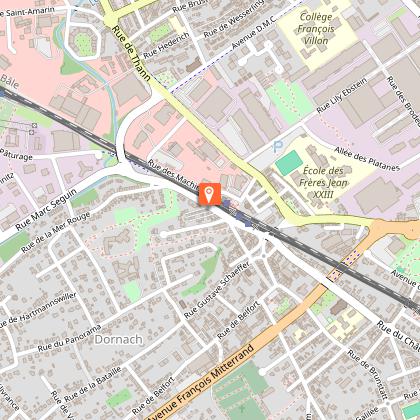
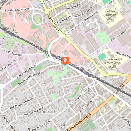
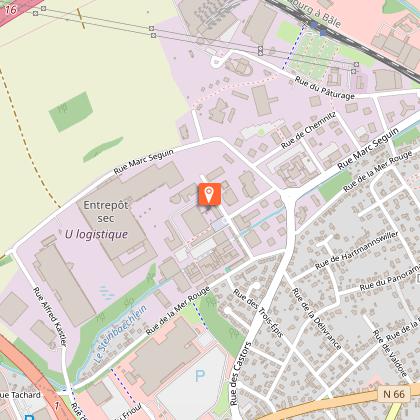
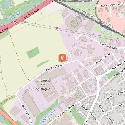
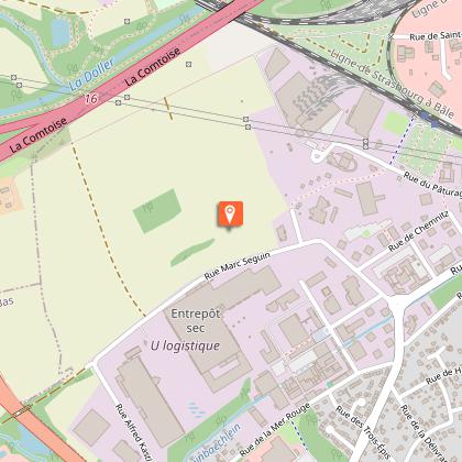
Starting point
Points of interest
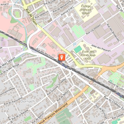
Dornach station
Building from the 1880s located on the first railway line in Alsace (Mulhouse-Thann line created in 1839). Since 2011, it is also a station of the tram 3 (Mulhouse-Lutterbach) and the tram-train (Mulhouse-Thann).
Rue de Ballersdorf district
With its small old workers' houses and its narrow sloping streets, this area dating from the beginning of the 19th century is sometimes called "the little Montmartre" (see explanatory panel at the beginning of rue de Ballersdorf).
Geisbühl woods
Between nos. 15 and 19 of the rue de la Mer Rouge, the Geisbuhl wood gave access to the castle (now a retirement home) of Jean Dollfus, owner of DMC (Dollfus Mieg et Cie) and mayor of Mulhouse from 1863 to 1869 (see the explanatory panel on the Dornach Heritage Trail at the entrance gate).
Rural cross
This rural cross (one of the last in Dornach) is located on the old road leading from Dornach to Lutterbach. Behind the cross, the old railway line which served the Mer Rouge factory from 1887 until about 1990. Before turning left as you approach the Electropolis Museum, you can see the Cité du Train (Railway Museum) in the background.
Former Mer Rouge factory
This former textile factory, whose brick buildings and 2 chimneys can still be seen, was created in 1804 and belonged successively to Jean Hofer, Schlumberger Fils and Schaeffer. Its former premises are rented to numerous companies and 2 buildings (the Grocery and the Factory) have recently been renovated by Citivia (formerly SERM).
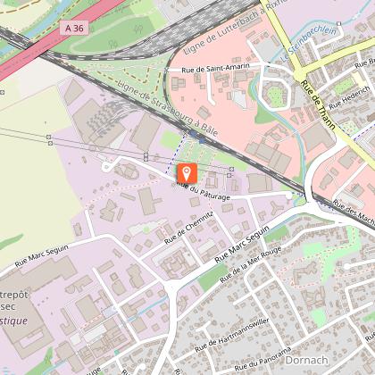
Former Mulhouse-Dornach tramway line
It is located on the uncultivated strip of land to the right along the rue Seguin. Used for travellers from 1910 to 1914, this track was used in 1914-18 as an access route to the German military positions at Heimsbrunn, and then, from 1920 to 1960, as a narrow-gauge railway line transporting clay from Morschwiller to the Lesage Tilery in Rue Josué Hofer in Mulhouse.
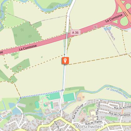
Water catchment wells
Two water wells of the City of Mulhouse, in the distance, in the fields (white towers). These wells, dating from the beginning of the water supply system in Mulhouse (1883), are fed by very pure water from the Doller water table (regulated by the Michelbach dam). In the same direction you can see the green bell tower of Lutterbach.
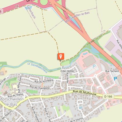
Steinbaechlein stream
It is on the left of the path, a little hidden. The Steinbaechlein, an artificial river that once fed mills and is now home to beavers, made a major contribution to the development of the Mulhouse textile industry, thanks to its crystal-clear water, which was diverted from the Doller at the Pont d'Aspach. Behind the Steinbaechlein, the former Hofer factory (artificial silk) has been demolished and replaced by a housing estate.
Nice view on the Vosges mountains
From the Baerenkopf on the left to the Petit Ballon on the right, passing by the Rossberg and the Grand Ballon. Closer, on the left, the bell tower of Morschwiller-le-Bas and the Kirchberg housing estate.
Road from Morschwiller to Lutterbach
This road is lined with a cycle path.
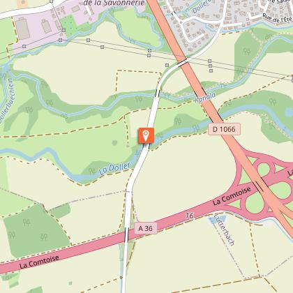
Doller brigde
This Vosges river rises at Fennematt, near the Ballon d'Alsace, and flows into the Ill at Illzach after a 46 km journey through Sewen, Masevaux and the Pont d'Aspach. The lower Doller valley, where we are, is a Natura 2000 site and a water catchment protection area. Note the recent fish ladders under the bridge. Shortly after the Doller bridge, on the left of the road, a small red brick building dating from 1896 is a private water pumping station belonging to the textile company DMC (which employed up to 9000 workers in 1928).
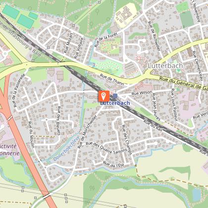
Lutterbach station
Late 19th century building located on the Mulhouse-Thann and Mulhouse-Strasbourg lines. Since 2011, it is also the terminus of tramway n°3 and a stop of the Mulhouse-Thann tram-train.
