Quatelbach walking tour in Baldersheim and Battenheim


Description
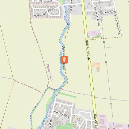
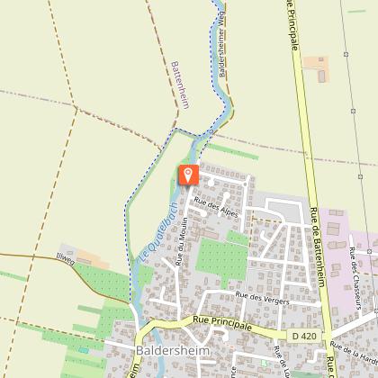
The tour, which stretches between Baldersheim and Battenheim, winds along both banks of the Quatelbach, a peaceful river in the plain that was probably dug out in the Middle Ages by human hands to irrigate various villages and operate mills. The route, without difficulties, partly follows a pleasant cycle path and can be covered in its entirety by VTC (mountain bike). Departure and arrival are near the town hall of Baldersheim.
Technical Information
Altimetric profile
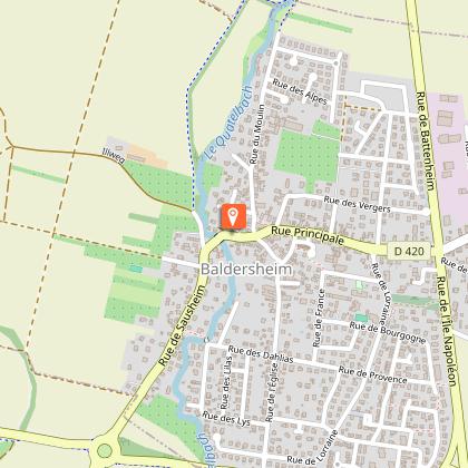
Starting point
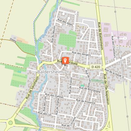
Points of interest
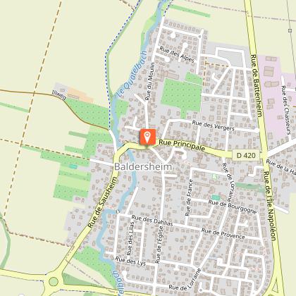
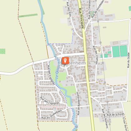
Start near the Baldersheim town hall
At the corner of Rue Principale and Rue du Moulin
Saints Pierre et Paul Church
The church was built around 1780 in Baroque style. It houses a wooden statue of Saint Wendelin dating from 1737.
Former 17th century farmhouse
At no. 19 rue Principale is an old farmhouse with rich and original half-timbering and a covered gallery at the back (Laube in German). The large size of the building is unusual in the Ill plain.
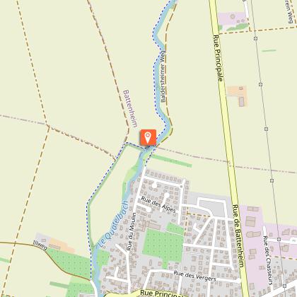
Quatelbach river
The Quatelbach is a man-made river which is derived from the Ill at the exit of Mulhouse (at the level of the present-day Nouveau Bassin). It was built around the year 1100 to supply water to the villages and mills of Modenheim, Sausheim, Baldersheim, Battenheim and Adolsheim before joining the Ill again at Ensisheim. There, it was extended in 1699 by the Vauban canal which brought water to the fortifications of Neuf Brisach. The name Quatelbach probably comes from Catherine of Burgundy (Katel in German), wife of the Duke of Austria (Habsburg). It was she who improved the river in 1401.
Stoneware valve
At the place called "Steinig", this gate, which dates from 1769, was used to regulate a network of irrigation ditches in Battenheim
Monument to the Liberation of 1944-45
Battenheim was provisionally liberated for 2 days on 20-21 November 1944, then definitively on 8-9 February 1945.
Old flour mill in Battenheim
This old mill (called Stackler mill), built in the 18th century on the Quatelbach, was in operation until about 1970 and was recently converted into housing. In front of the mill, the Quatelbach was once used for bathing horses.
Saint Imier Church
This church has a bell tower dating from 1508 and a stork's nest. Next to it, the former Hotel-Restaurant de l'Ancienne Poste (dating from 1762) was once an important post office on the Basel-Strasbourg road.
Group of small, low houses
These houses are also called "day labourer" houses (farm workers employed on a daily basis). No. 45 rue du Moulin dates from 1792.
Water tower
It supplies the communes of Baldersheim, Battenheim and Ruelisheim.
Former flour mill
This former 18th century mill, powered by water from the Quatelbach, ceased to operate around 1970.
