The heights of Berrwiller


Description
This easy tour is half in the forest and half in the vineyards around Berrwiller. It allows you to discover vestiges of the First World War, beautiful oratories as well as superb views of the Vosges, Berrwiller and the Alsace plain. Departure and arrival are on the way from the forest to Hartmannswiller. On the edge of the forest it is possible to park your car on a car park.
Technical Information
Altimetric profile
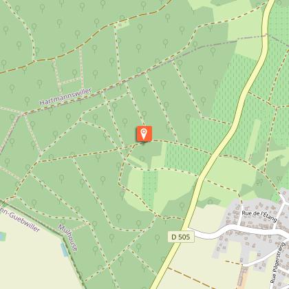
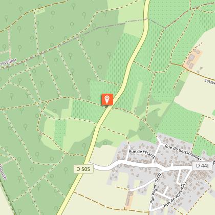
Starting point
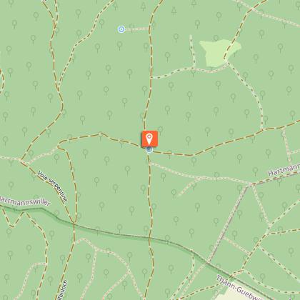
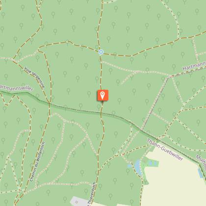
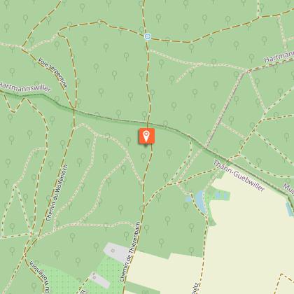
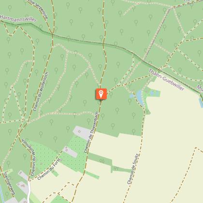
Points of interest
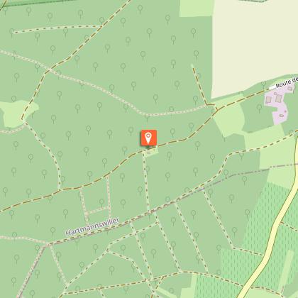
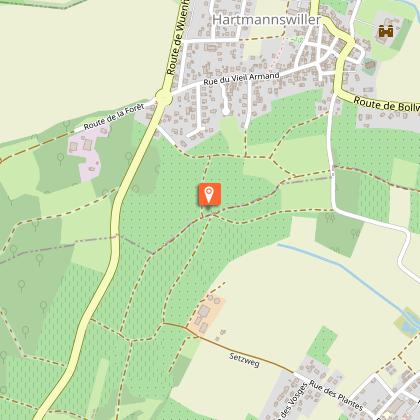
Starting point - arrival: Route de la Forêt
At the roundabout at the entrance of the village of Hartmanswiller coming from Cernay by the RD 5 or from Bollwiller by the RD44 in front of the Meyer hotel, take the route de la forêt. You can park your car 500 m further on the edge of the forest. The route takes the road to the canteen, so called because it leads to the ZELLER canteen, which was the former German command post of the 14-18 war on the Hart-mannswillerkopf front. The place is named Zeller in reference to Madame Zeller who lived there after the Second World War.
Kauffmann fountain
This pretty fountain, carved from tree trunks, owes its name to Auguste Kauffmann, former mayor of Hartmanswiller, who installed it. Take the path on the left: you are on the pilgrimage route to Santiago de Compostela.
Bunkers
On both sides of the path you will find World War I bunkers. These are German bunkers dating from 1916-1918 and restored by the Friends of the Hartmannswillerkopf and the Baden South West reservists.
Oratory dedicated to Christ
This oratory, as well as the following one, were probably built at the end of the 19th century or the beginning of the 20th century.
Oratory dedicated to the Virgin Mary
There is a bench next to this oratory where you can take a pleasant break. Take the path on the left towards Berrwiller.
Berrwiller vineyard
After a gentle descent at the end of the forest, you enter the Berrwiller vineyard. In good weather, you can see Mulhouse and sometimes even the Swiss Alps.
View of the Berrwiller bell tower
Before crossing the departmental road 5, the panorama allows you to discover the bell tower of Berrwiller and the plain of Alsace.
View of the Potash Basin
The itinerary goes through a very beautiful setting between vineyards and orchards. The views follow one another towards Hartmanswiller, the Vosges mountains, Bollwiller, the headframes of the Rodolphe Mine etc. Follow the red-white-red rectangle sign back to the starting point through fields and orchards and onto the Route de la Forêt.
