Alert
Alerts
Type of practice
Walking
Very easy
2h30mn
Presentation
Description
Map
Ratings and reviews
See around
Hiking: Bunkers trail


Credit : ©AEICH
IGN cards

3621ET - DANNEMARIE DELLE SUNDGAU
Editor : IGN
Collection : TOP 25 ET SÉRIE BLEUE
Scale : 1:25 000
13.90€

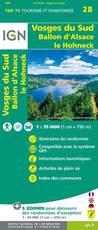
TOP75028 - VOSGES DU SUD BALLON D'ALSACE LE HOHNECK
Editor : IGN
Collection : TOP 75
Scale : 1:75 000
9.80€

VEL04 - L'ALSACE A VELO
Editor : IGN
Collection : DECOUVERTE A VELO
Scale : 1:110 000
9.10€

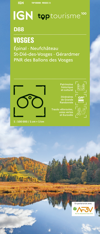
TOP100D88 - VOSGES ÉPINAL NEUFCHÂTEAU ST-DIÉ-DES-VOSGES GÉRARDMER PNR DES BALLONS DES VOSGES
Editor : IGN
Collection : TOP 100
Scale : 1:100 000
8.40€

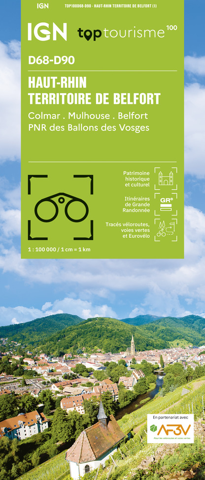
TOP100D68 - HAUT-RHIN TERRITOIRE DE BELFORT COLMAR MULHOUSE BELFORT PNR DES BALLONS DES VOSGES
Editor : IGN
Collection : TOP 100
Scale : 1:100 000
8.40€

201 ALSACE MASSIF DES VOSGES
Editor : IGN
Collection : TOP 200
Scale : 1:200 000
6.80€

89032 - LA TRAVERSEE DES VOSGES
Editor : IGN
Collection : DECOUVERTE DES CHEMINS
Scale : 1:100 000
9.10€

D70-88-90 HAUTE-SAÔNE VOSGES TERRITOIRE DE BELFORT
Editor : IGN
Collection : CARTES DÉPARTEMENTALES IGN
Scale : 1:150 000
5.90€

D67-68 BAS-RHIN HAUT-RHIN
Editor : IGN
Collection : CARTES DÉPARTEMENTALES IGN
Scale : 1:150 000
5.90€

NR09 BOURGOGNE FRANCHE-COMTÉ
Editor : IGN
Collection : CARTES RÉGIONALES IGN
Scale : 1:250 000
6.80€

SUISSE
Editor : IGN
Collection : DÉCOUVERTE DES PAYS DU MONDE IGN
Scale : 1:303 000
7.00€

ALLEMAGNE
Editor : IGN
Collection : DÉCOUVERTE DES PAYS DU MONDE IGN
Scale : 1:800 000
7.00€

EUROPE
Editor : IGN
Collection : DÉCOUVERTE DES PAYS DU MONDE IGN
Scale : 1:2 500 000
7.00€
Description
On the front line, between bunkers and trenches
The tour is punctuated by bunkers which used to mark out the frontline during the first World War. Along the trail you will discover other places such as mills, a washing place and the Hagendorn spring. Historical explanations will be given by signs next to the bunkers.
At the edge of the Doller river a shelter made of wood fitted out with a barbecue area will enable to halt.
Length: a 9 kilometer loop.
Duration: two and half hours.
Start: from the church in Burnhaupt-le-bas, follow the red ring.
Technical Information
Walking
Difficulty
Very easy
Duration
2h30mn
Dist.
9.3 km
Type of practice
Walking
Very easy
2h30mn
Show more
Altimetric profile
Starting point
25 rue Principale
,
68520
Burnhaupt-le-Bas
Lat : 47.719071Lng : 7.162094
Additional information
Contact
Tel : 03 89 48 70 61
Email : contacts@masevauxhistoire.fr
Site web : www.masevauxhistoire.fr
Data author
2 rue de Lattre de Tassigny 68290 Masevaux France
Ratings and reviews
To see around
