Alert
Alerts
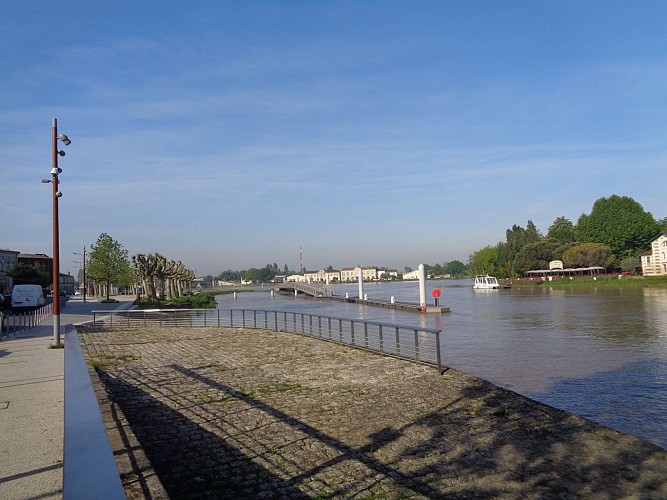
Balade à roulettes : Les quais de Libourne

IGN cards


Description
Geographically situated at the confluence of the Isle and Dordogne rivers, Libourne is a city of 25,400 inhabitants with a plural identity. A bastide town founded in the Middle Ages; a port town, as Libourne was once a seaport, and is now a centre for river tourism and pleasure boating, thanks to the recent development of its banks and quays; a wine-growing town with its illustrious appellations; and last but not least, the town of Santa Claus, or at least of his secretariat.
Balades à Roulettes® (BR®) are short, leisurely walks, with a baby carriage or small bike, or adapted for people with reduced mobility (in a wheelchair), offered by the Fédération Française de Randonnée de la Gironde.
Technical Information
Altimetric profile
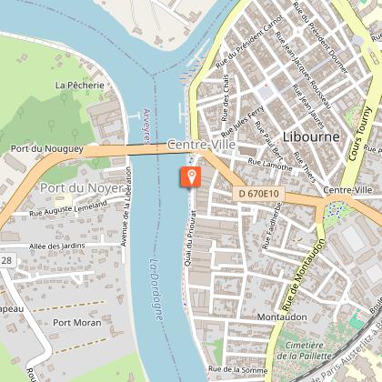
Starting point
Steps
Additional information
Typologie de l'itinéraire
Return
Durée moyenne de l'expérience
Less than 1 hour
Thèmes
Cultural
Historical
Marques et labels
Balade à roulettes (BR®)
Data author
