Alert
Alerts
Au fil de l'Eau 6,5km / 2h30


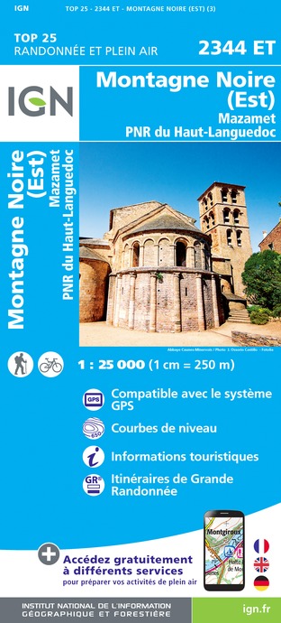
IGN cards


Description
Historical trail that traces the history of Mazamet along the Arnette and its current.
Mazamet owes its existence and its economic development to
the Arnette River. It is the quality and the force of the tumultuous
water flowing down the green slopes of the Montagne
Noire that brought the industry to this town.
Taking you on a journey along its banks, through hills and
forests, this circuit will allow you to discover the industrial and
human evolution that has taken place over the centuries.
Just like a history book, 16 signs retrace the steps of the main
elements of this exceptional adventure which, through the wool
and leather industry, brought Mazamet and the surrounding
Valley international acclaim. They show how the area has benefited
since the Middle Ages due to the energy and the purity of
the river’s water. After centuries of eventful activity, the Arnette
River and surrounding valley has finally become a place of
tranquility where the quality of this natural environment is respected
and preserved. The circuit is the initiative of a partnership
between the town of Mazamet, the Association of Heritage
Promotion, and the mission for local employment.
Technical Information
Altimetric profile
Starting point
Points of interest
Additional information
Updated by
Office de Tourisme de Castres-Mazamet - 24/06/2024
www.tourisme-castresmazamet.com/
Report a problem
Environments
Mountain view
Mountain location
Town location
Close to GR footpath
Overview on river
Open period
All year round.
Contact
Phone : 05 63 61 27 07
Email : accueil@tourisme-castresmazamet.com
Topo guides and map references
Topo guides references :
Hiking sheets available at the Tourist Offices of Mazamet, Castres and Labruguière.
Sheet sold for 0,50 €.
Type of land
Rock
Stone
Ground
Hard coating (tar, cement, flooring)
Not suitable for strollers
Location complements
Departure: Join the Tourist Office of Mazamet in the city center. After reading the sign for the start of the hike, borrow on the top of the car park of rue Gaston Cormouls Houlès then go up the street of the Republic and Redondal street until the road of Carcassonne. Turn right at 50 m after going up the Rue de Boutonnet and in its extension the Rue Haute de Boutonnet. Turn right onto the path that goes up the forest.
Data author


