Alert
Alerts
Type of practice
Walking
Very easy
1h30mn
Cycling
Mountainbiking
Riding
Presentation
Description
Map
Steps
Points of interest
Ratings and reviews
See around
Chemin de Mireval

IGN cards

2247OT - LAVELANET MONTSEGUR LAC DE MONTBEL
Editor : IGN
Collection : TOP 25 ET SÉRIE BLEUE
Scale : 1:25 000
13.90€
TOP100D66 - PYRÉNÉES-ORIENTALES PERPIGNAN PRADES CÉRET CÔTE VERMEILLE PNR DES PYRÉNÉES CATALANES
Editor : IGN
Collection : TOP 100
Scale : 1:100 000
8.40€
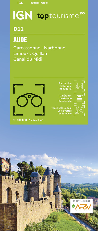
TOP100D11 - AUDE CARCASSONNE NARBONNE LIMOUX QUILLAN CANAL DU MIDI
Editor : IGN
Collection : TOP 100
Scale : 1:100 000
8.40€

TOP100D09 - ARIÈGE FOIX SAINT-GIRONS PNR DES PYRÉNÉES ARIÉGEOISES
Editor : IGN
Collection : TOP 100
Scale : 1:100 000
8.40€

D09-66 ARIÈGE PYRÉNÉES-ORIENTALES
Editor : IGN
Collection : CARTES DÉPARTEMENTALES IGN
Scale : 1:150 000
5.90€

D11-81 AUDE TARN
Editor : IGN
Collection : CARTES DÉPARTEMENTALES IGN
Scale : 1:150 000
5.90€

EUROPE
Editor : IGN
Collection : DÉCOUVERTE DES PAYS DU MONDE IGN
Scale : 1:2 500 000
7.00€
Description
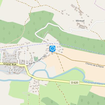
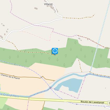
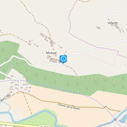
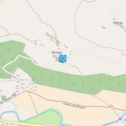
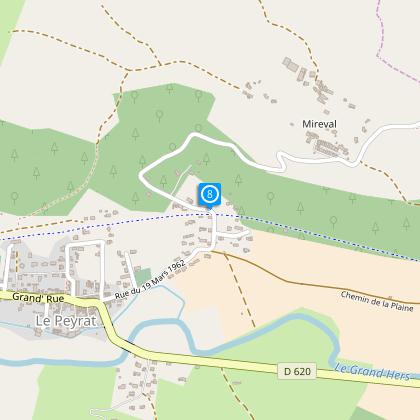
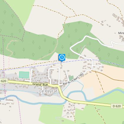
Path from Peyrat which leads to the hamlet of Mireval or "mira-valh" which means in Occitan "look at the valley".
Until the mid-nineteenth century, Le Peyrat was an industrial center specialized in the manufacture of horn comb and leather goods.
Technical Information
Walking
Difficulty
Very easy
Duration
1h30mn
(1d)
Dist.
4.7 km
Type of practice
Walking
Very easy
1h30mn
Cycling
Mountainbiking
Riding
Show more
Altimetric profile
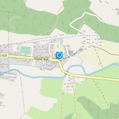
Starting point
2
Place de la Mairie
,
09600
Le Peyrat
Lat : 42.95634Lng : 1.92164
Steps
Points of interest
Additional information
To see
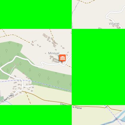
The hamlet of Mireval:
The name of this hamlet comes from Occitan Mira-Valh which means look at the valley.
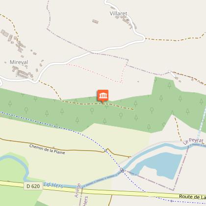
The fountain of Turet:
Once a place of restorations and processions, was formerly in the center of the village of Mireval the old one which was, according to the memory, in this kind of valley where tiles and cut stones were discovered.
Data author

proposed by
Office de Tourisme des Pyrénées Cathares
3 place Albert Gabarrou 09300 Lavelanet France
Ratings and reviews
To see around


