La Poupée trail


Description
A short walk offering a lovely panorama of the valley
Technical Information
Altimetric profile
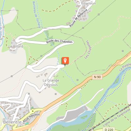
Starting point
Additional information
Updated by
Office de Tourisme de la Grande Plagne - 27/06/2024
www.la-plagne.com
Report a problem
Guidebook with maps/step-by-step
0/ Set off from Bonconseil water tower.
1/ Follow the path to "Les Rottes".
2/ At the "Les Rottes" turn off, continue on the same path towards the bus stop and the road.
3/ To continue, take the road that goes down to Le Grange then Bellentre, or go up to Le Villard to join "Cyprien trail".
4/ Take the same path back.
Open period
All year round.
According to snow cover.
Contact
Phone : 04 79 55 67 00
Email : info.vallee@la-plagne.com
Website : www.la-plagne.com/la-plagne-vallee
Data author
