Alert
Alerts
Boucle des Maïs


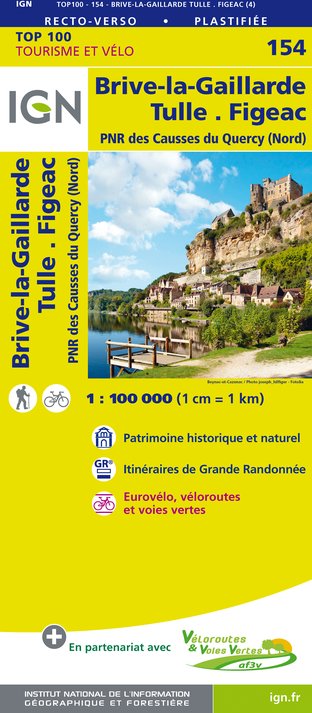
IGN cards


Description
The commune of St-André d?Allas is characterized by a vast forested area, mainly planted with chestnut trees, interspersed with pine forests and meadows on the plateaus or lining the valleys and valleys. Although the commune has always drawn its resources from the land, its privileged location between Sarlat and Les Eyzies means that today it is increasingly turning towards new activities linked to tourism.
Technical Information
Altimetric profile
Starting point
Points of interest
Additional information
Balisage
Yellow
Typologie de l'itinéraire
Loop
Accessible aux personnes à mobilité réduite
Non
Thèmes
Cultural
Natural
Contact
Fixed telephone : +33 5 53 31 45 45
Office de Tourisme de Sarlat-Périgord Noir
e-mail : info@sarlat-tourisme.com
Office de Tourisme de Sarlat-Périgord Noir
Web site (URL) : www.sarlat-tourisme.com
Office de Tourisme de Sarlat-Périgord Noir
Durée moyenne de l'expérience
2 to 3 hours
Data author


