Alert
Alerts
Type of practice
Mountainbiking
Medium


Presentation
Description
Map
Points of interest
Ratings and reviews
See around
Moutain Bike Track n°4 - The hillsides of Salvagnac


IGN cards
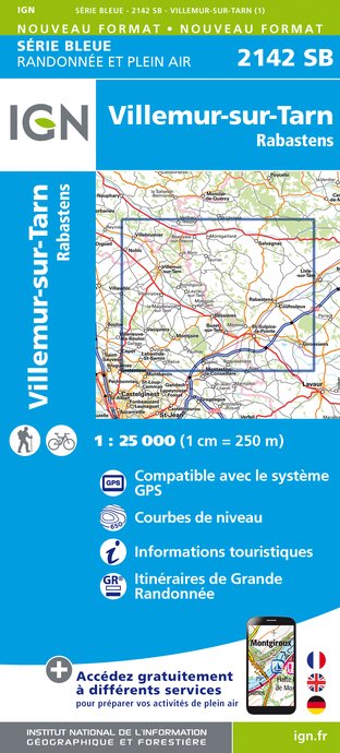
2142SB - VILLEMUR-SUR-TARN RABASTENS
Editor : IGN
Collection : TOP 25 ET SÉRIE BLEUE
Scale : 1:25 000
13.90€

2141SB - NÈGREPELISSE MONCLAR-DE-QUERCY
Editor : IGN
Collection : TOP 25 ET SÉRIE BLEUE
Scale : 1:25 000
13.90€

TOP100D81 - TARN ALBI CASTRES PNR DU HAUT-LANGUEDOC
Editor : IGN
Collection : TOP 100
Scale : 1:100 000
8.40€
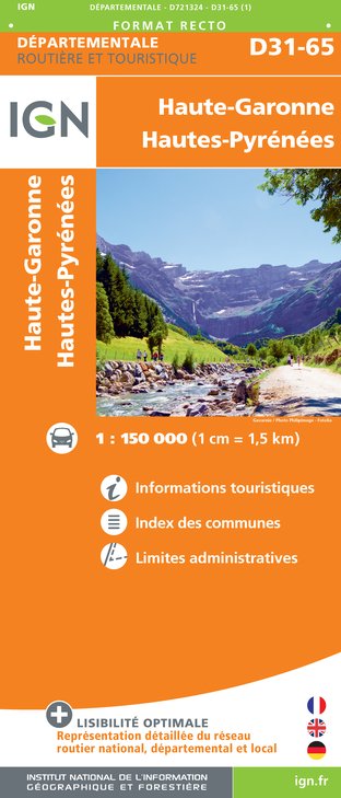
D31-65 HAUTE-GARONNE HAUTES-PYRÉNÉES
Editor : IGN
Collection : CARTES DÉPARTEMENTALES IGN
Scale : 1:150 000
5.90€

D11-81 AUDE TARN
Editor : IGN
Collection : CARTES DÉPARTEMENTALES IGN
Scale : 1:150 000
5.90€

D32-82 GERS TARN-ET-GARONNE
Editor : IGN
Collection : CARTES DÉPARTEMENTALES IGN
Scale : 1:150 000
5.90€

NR11 NOUVELLE-AQUITAINE RECTO/VERSO BASSIN AQUITAIN
Editor : IGN
Collection : CARTES RÉGIONALES IGN
Scale : 1:250 000
6.80€

NR10 NOUVELLE-AQUITAINE RECTO /VERSO LIMOUSIN POITOU
Editor : IGN
Collection : CARTES RÉGIONALES IGN
Scale : 1:250 000
6.80€

EUROPE
Editor : IGN
Collection : DÉCOUVERTE DES PAYS DU MONDE IGN
Scale : 1:2 500 000
7.00€
Description
Departure from the Sourigous base, circuit allowing you to discover the hillsides of Salvagnac by technical paths, leading you to the valley of the Vère and the forest of Sivens.
Technical Information
Mountainbiking
Difficulty
Medium
Dist.
28 km
Type of practice
Mountainbiking
Medium
Show more
Altimetric profile
Starting point
Départ de la base des Sourigous
,
81630
Salvagnac
Lat : 43.915775Lng : 1.684877
Points of interest

Additional information
Updated by
Tarn Attractivité - 26/03/2025
www.tourisme-tarn.com
Report a problem
Open period
All year round.
Contact
Phone : 05 63 77 32 10
Email : contact@tourisme-tarn.com
Website : www.tourisme-vignoble-bastides.com/circuits-vtt?mb_page=circuit&mb_id=65564&mb_titre=circuit-n-4-vtt-les-coteaux-salvagnacois&mbscrollto=module
Data author

proposed by
Tarn Tourisme
Ratings and reviews
To see around