Alert

Alerts

To see around
See more
Open
Close
Show
Show
Show
Show
Show
Show
Show
Show
Show
Show
Show

Oups... It would appear that Cirkwi does not have permission to use your location.

Presentation
Description
Map
Points of interest
Ratings and reviews
See around

Tour des Vaches Rouges - Main itinerary in 9 days via Vèze - Departure from Allanche, Cantal

Tour des Vaches Rouges - Main itinerary in 9 days via Vèze - Departure from Allanche, Cantal

Description

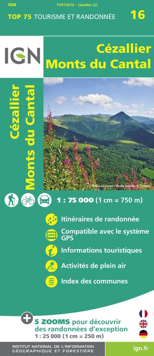
At the junction of the Cantal and Puy de Dôme departments, the Tour des Vaches Rouges takes in the vast Cézallier plateau. Variants are available to vary the itinerary. The main route via Vèze, 148 km long, takes 9 days to complete.

Technical Information

Walking
Difficulty
Not specified
Duration
6h30mn (9d)
Dist.
148 km
Show more

Altimetric profile

Starting point

1 place du Cézallier , 15160   Allanche
Lat : 45.230324Lng : 2.934784

Points of interest

Additional information

Tips

-For your safety, please check the weather forecast before setting off on your hike. -To preserve the environment in which you are located, please avoid leaving garbage in nature. -Remember to take the appropriate equipment for the weather conditions and the hiking itinerary (hiking boots, water bottle, cap, sunglasses, jacket...).

Environments

In the country
Forest location
Mountain view
Mountain location
Lake 5 km away
Close to GR footpath
Overview on river
Panoramic view
Waterfall view

Updated by

Hautes Terres Tourisme - 10/09/2024
www.hautesterrestourisme.fr
Report a problem

Open period

From 15/04 to 31/10.

Subject to favorable weather.

Type of land

Rock
Stone
Ground
Hard coating (tar, cement, flooring)
Grit
Not suitable for strollers

Contact

Phone : 04 71 20 48 43

Email : contact@hautesterrestourisme.fr

Website : www.hautesterrestourisme.fr

Tricky passages

Crossing summer pastures: presence of herds.

Data author

Ratings and reviews

To see around
See more
Open
Close
Show
Show
Show
Show
Show
Show
Show
Show
Show
Show
Show
Caution!
We have no information on the difficulty of this circuit. You may encounter some surprises along the way. Before you go, please feel free to inquire more and take all necessary precautions. Have a good trip! 🌳🥾