Alert
Alerts
Étang d'Alate
IGN cards






Description
Located on the GR10 long-distance hiking trail, this walk will take you to the Etang d'Alate, via the port of Saleix, a veritable crossroads between the Couserans and Vicdessos valleys.
Technical Information
Altimetric profile
Starting point
Additional information
Open period
From 01/01 to 31/12.
Subject to snow conditions.
Updated by
Office de Tourisme Couserans Pyrénées - 24/11/2025
www.tourisme-couserans-pyrenees.com/
Report a problem
Contact
Phone : 05 61 96 26 60
Email : contact@tourisme-couserans-pyrenees.com
Location complements
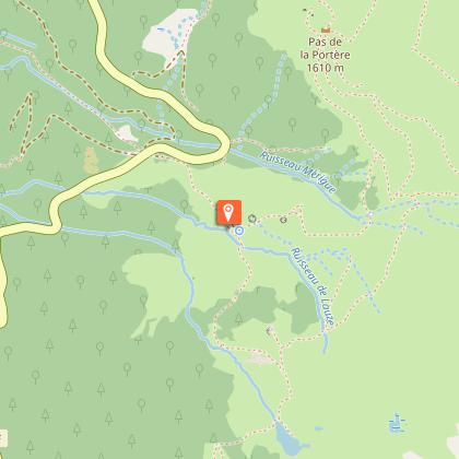
In the village of Aulus-les-Bains, head towards Port de l'Hers on the D8f. After several hairpin bends and a straight stretch, reach the car park at "Coumebière". A hiking sign marks the start.
Environments
Lakeside or by stretch of water
Lake view
Waterside
Presence of livestock and guard dogs
Type of land
Rock
Ground
Tricky passages
Route equipped with a handrail and steps (slippery in wet weather)
Guidebook with maps/step-by-step
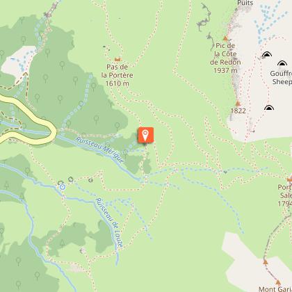
START POINT: 42.78307, 1.38643 The climb is on the gr10 (red and white markings) towards the Port de Saleix.Cross the Coumebière plateau (summer pasture).The path then twists and turns up to Port de Saleix.
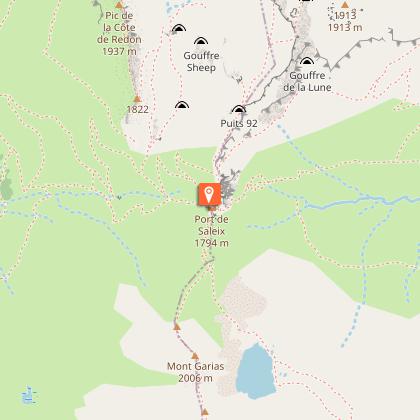
PORT DE SALEIX : 42.78123, 1.40418 Once at the Port, take the path (still the GR10) that climbs to the right over the ridge towards the refuge de Bassiès, then take the well-marked path to the left to switch to the other side. The pond is in sight on this short downhill section of the route, which is equipped with a cable and steps. However, this section is not particularly difficult. Continue along this path, which crosses boulders to reach the étang d'Alate.
Return along the same path to the Port de Saleix. Back at the Port de Saleix, to avoid taking the same path as on the outward journey, take a well-marked path that descends to your left. After several switchbacks and crossing the stream, the descent becomes steeper and straighter. Once you reach the intersection with the GR10, continue downhill on your left to find the starting car park.
Data author

