Alert
Alerts


Étang Hillette and Alet via the Cirque de Cagateille


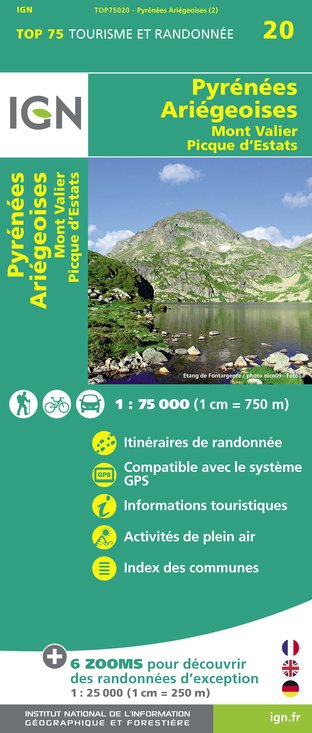
IGN cards


Description
A demanding hike where you can admire the étangs de la Hillette and the deep étang d'Alet. Ibexes have made this granite landscape their home.
Technical Information
Altimetric profile
Starting point
Date and time
- From 01/04/2025 to 31/10/2025
- From 01/04/2026 to 31/10/2026
Additional information
Updated by
Office de Tourisme Couserans Pyrénées - 14/04/2025
www.tourisme-couserans-pyrenees.com/
Report a problem
Type of land
Stone
Ground
Open period
From 01/04 to 31/10.
Subject to snow conditions.
Contact
Phone : 05 61 96 26 60
Website : www.tourisme-couserans-pyrenees.com/
Guidebook with maps/step-by-step
0.00 A climb to the left along the well-marked path through the undergrowth, crossing several streams before reaching the relatively flat bottom of the cirque.
the view opens up towards the
0.50 cirque de Cagateille: cross the footbridge, you're in the middle of the cirque
1.10 B the southern end of the cirque: cross the bar via a path in the forest
a path through the forest; after crossing a number of equipped steps
2.00 C Continue on your right to reach the wood's exit,
2.30 H climb up the grassy section to the
3.15 G Etang de la Hillette weir: descend to the pond in the
the bar (pas de l'Echart) with the handrail, then if you wish
the hut by taking the small passage to your left (right bank) of the pond.
of the pond.
The path crosses the spillway and then progresses up the slope before ascending
a small grassy ledge; you then cross 2 streams with waterfalls
then the path climbs up to the "Rochers de Plagnole" bar.
Plagnole" bar at 2010 m. from where you can see the Etang d'Alet.
to the
4.45 I Etang d'Alet spillway: climb up a little on large granite slabs
slabs, the path then descends slightly downhill to a small depression
a small depression with a pond; you climb up a little and just before
the descent
5.30 J le chemin de la Lacarde: turn right and plunge down into the valley,
past the slag heaps of the old Carbauére mines, then down to the stream
the stream before climbing back up to the valley.
7.15 A the start area (end)
Data author
