Alert
Alerts
Rond et Long lake loop
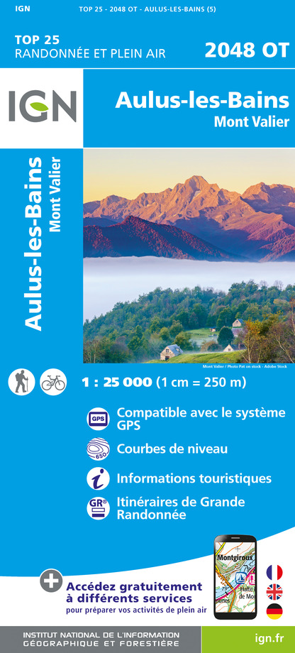
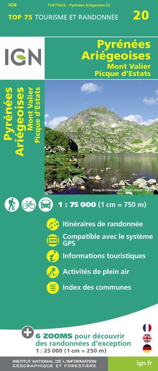
IGN cards


Description
This loop through the Valier massif will take you from the summer pastures to the high mountains. You'll walk past waterfalls, skirt high-altitude lakes and spot isards, marmots and large birds of prey in unique mountain cirques.
Technical Information
Altimetric profile
Starting point
Date and time
- From 01/04/2026 to 30/11/2026
Additional information
Updated by
Office de Tourisme Couserans Pyrénées - 06/08/2025
www.tourisme-couserans-pyrenees.com/
Report a problem
Open period
From 01/04 to 30/11.
Subject to favorable snow and weather conditions.
Contact
Phone : 05 61 96 26 60
Email : contact@tourisme-couserans-pyrenees.com
Website : www.tourisme-couserans-pyrenees.com/
Facebook : www.facebook.com/tourismecouseranspyrenees/
Type of land
Rock
Stone
Ground
Tricky passages
Can be enjoyed from June/July until the first snow. The route presents a number of difficulties. The sections equipped with handrails may have been damaged or covered in snow (check with the information offices) and the ascent to the port of Barlonguère is snowed in late in the season (ice axes and crampons are useful at the start of the season).
Guidebook with maps/step-by-step
1/ From the Pla de la Lau car park (alt 920 m) follow the rich left as far as
2/ the Caussis hut 3h - 1859 m
Turn right along the flat path (GRT 55) through rocks and meadows. When you reach the bottom of the valley, cross a stream before continuing slightly uphill to reach
3/ l'Etang Rond 3h20 - 1929 m
The path skirts the lake, then crosses a rocky chaos (névé in early summer). The climb becomes steeper and more precise, with several passages equipped with handrails. You will soon reach
4/ Etang Long 4h05 - 2125 m
Do not take the left-hand route up to La Claouère (Chemin de la Liberté). At the lake spillway, take the right trace that rises for about forty meters, then through a terrace and a rock passage equipped with handrails. Further on, the route descends to the edge of the lake and crosses several rocky passages. You then come out at the bottom of the cirque, which is often covered in snow, and from there you climb up the steep couloir, the first part of which is more to the left depending on the snow. You finally arrive at the
5/ Port de Barlonguère 5h10 - 2400 m
The route quickly descends the right bank of the valley, passes the Barlonguère hut (waterhole) and continues. You quickly cross over to the left bank before returning to the right bank. Cross another stream to descend into the meadow. After a while, the white and red markings go left to cross the stream and change slope. Leave the markings and continue down the slope (less marked path). Soon you come up against a large stream that you have to cross (sometimes very fast flowing). On the other side, you reach the
6/ Cabane de Peyralade 6h30 - 1690 m
The path remains on the left bank and is not too marked at the start. You cross the Peyralade meadow and soon plunge into the forest. A steep, winding descent takes you back down to the bottom of the valley. You rejoin the starting route and the
7/ Parking du Pla de la Lau 7.45am - 935m
Data author
