Alert
Alerts
Chemin de la liberté


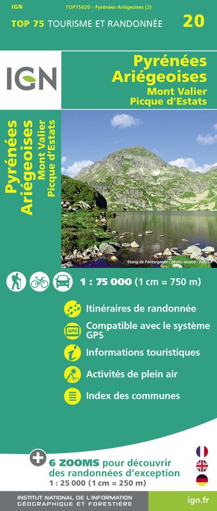
IGN cards


Description
The road to freedom is a historic route. The Couserans, which borders Spain, has been a strategic crossing point since time immemorial, particularly during the darkest hours of our history.
History of the road to freedom :
After the German offensive of May 1940 and the division of France into two parts
occupied zone in the North and a free zone in the South, many civilians and soldiers, fleeing a world of persecution, imprisonment and executions that was inseparable from Nazi barbarism, took refuge as soon as they could in this free zone, synonymous with hope. Their common denominator was the vital need to leave France and reach Spain by crossing the Pyrenees, either simply out of an instinct for survival, or to resist inexorably the unbearable oppression. Nearly 3,000 people - 2,506 men and 158 women - crossed the Spanish border through the Couserans during the Second World War. Among the various routes, one of the most emblematic and representative is the Chemin de la Liberté, already mentioned above, linking Saint-Girons to Sort across the Pyrenees, via Mont-Valier.
Technical Information
Altimetric profile
Starting point
Additional information
Environments
In the country
Forest location
Lake view
Mountain view
Panoramic view
Updated by
Office de Tourisme Couserans Pyrénées - 19/02/2025
www.tourisme-couserans-pyrenees.com/
Report a problem
Open period
All year round.
Type of land
Rock
Stone
Ground
Hard coating (tar, cement, flooring)
Grit
Contact
Phone : 05 61 96 26 60
Email : contact@tourisme-couserans-pyrenees.com
Facebook : www.facebook.com/tourismecouseranspyrenees/
Guidebook with maps/step-by-step
Day 1: From Saint-Girons (391 m. alt.) to the hamlet of Aunac (766 m. alt.), distance: 23 km. Average walking time: around 8 hours.
The starting point is at the southern entrance to the town, at the site of an old iron bridge (now replaced by a concrete bridge) that was the main rallying point for fugitives during the Occupation. 100 m to the right, on the Route d'Aulus, opposite the Relais de Guzet service station, you come to the Beauregard housing estate; from there, via tracks and paths, you climb gently above the villages of Eycheil and Lacourt to reach Alos, then the Col d'Artigues at 880 m; here a stele commemorates the tragic death of a 19-year-old ferryman: Louis Barrau, who was denounced, captured and murdered by the Germans; we then descend to the Col d'Escots at 725 m to climb back up to 766 m at the end of the first stage: the hamlet of Aunac.
Day 2: Aunac (alt. 766 m.) to Subéra hut (alt. 1,499 m.), distance 16 km. Average walking time: around 6 hours.
From this stage onwards, the route quickly moves into the high mountains and their majestic scenery! After passing the gîte d'étape d'Esbints, you climb to the Col de la Core (1,395 m); from here you descend along the road for 300 m and at the first hairpin turn right onto the path which leads past the Cabane de Casabède to the Col de Soularil (1,579 m), then to the Cabane de Subéra (1,499 m) where you stop to sleep (in tents).
Day 3: from the Subéra hut (1,499 m. alt.) to the Estagnous hut (2,245 m. alt.), distance: 13 km. Average walking time: around 8 hours.
From the Subéra hut, the slope becomes much steeper; after a two-hour climb, you arrive below the Lampau peak, where a stele has been erected in memory of the 7 members of the British crew, near the wreckage of their Halifax, which crashed into the mountain on 19 July 1945. After a moment of contemplation, you continue up to the Col de Crabérous (2,382m), from where you descend to the Cabane d'Espugue (2,110m); then, via the Etang de Cruzous, you climb to the Col de Pécouch (2,494m) before finally descending to the Estagnous refuge (2,245m).
Day 4: from the Estagnous refuge (alt. 2,245 m.) to Alos de Izil (alt. 1,200 m.), distance: 20 km. Average walking time: around 7 hours.
From this refuge, which was abandoned for a long time but has since been completely restored, we first descend to Étang Rond (1,929 m) and then climb back up to Étang Long (2,125 m); after a long and arduous ascent, we are delighted to reach the Spanish border at the Col de Claouère (2,500 m). An interminable descent takes us to the banks of the Noguera Pallaresa, from where we quickly reach Alos d'Izil (1,200 m), the end of the route.
Additional information:
Every year, the Chemins de la Liberté association organises a tour of the entire route (usually in June). For further information, please contact the association by telephone on 05 61 66 35 68 or by e-mail at contact@chemindelaliberte.fr.
This route is not recommended in winter.
Data author


