Alert
Alerts
Parcours découverte à Habas
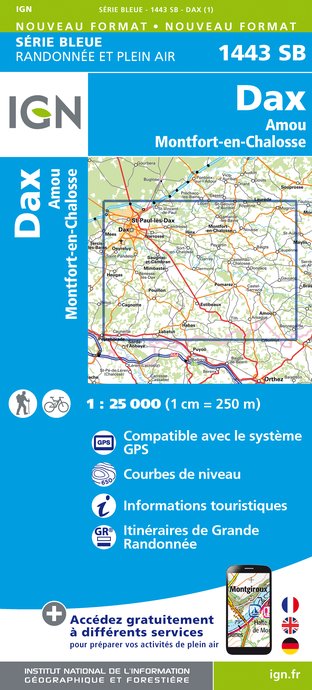
IGN cards


Description
Located in the Chalosse region of the Landes département, Habas is one of the 24 communes of the Communauté de Communes du Pays d?Orthe et Arrigans.
This charming village, set on the heights of the Gave de Pau, has a population of around 1,500, and has maintained its vitality thanks to a rich network of associations and the preservation of its local shops.
Habas takes its name from the Gascon word "fabas", meaning a place fertile with beans.
Located on the Roman road linking Bordeaux to Astorga, the area became a stopping-off point for pilgrims on their way to Santiago de Compostela in the 14th century.
At the same time, the town began to develop around its feudal castle, the site of today?s town hall. In 1638, Louis XIII granted Habas letters patent authorizing the holding of a market every Friday.
Technical Information
Altimetric profile
Starting point
Additional information
Contact
Fixed telephone : +33 5 58 73 00 52
Office de Tourisme de La Vallée du Kiwi
Balisage
Green
Typologie de l'itinéraire
Loop
Thèmes
Historical
Data author
