Alert
Alerts
The peak of Usson
IGN cards


Description
Usson, a perched village, its church, its basalt columns and its peak feed the curiosity of hikers. The panoramas of the Mont Dore and the Puys chain are no less remarkable.
Starting point - From the starting sign, at the bus shelter after the Town Hall, turn right towards the fairground. Go on rue H. Pourrat on the right. At the next intersection turn left, then take the second street on the right, rue des vignerons. Turn right at the first street (at the bottom of the stairs), then turn left at the next street, rue au Chanvre. Continue to the left across the Place de l'Ormeau and then take the Varennes road. Turn right into rue de la Forge. Go around the church on the right by the rue de la Reine Margot, 100 m further on the right, then on the left until the crossroads with the D123.
1 - Cross this crossing towards Usson, go up the first grassy road on the right. At the T-junction, go to the right, take the path along a coppice forest, then go up between fields, facing the peak of Usson, to a first house (view on the Cézallier and the Sancy massif).
2 - Go to the right, cross the hamlet; at the end of the street, go to the left. At the exit, go around a hangar and turn right onto a balcony path. At the first fork, continue to the left. In front of the castle turn right and then walk along a property (Bois Rigaud, 17th century). Turn left three times and reach a road.
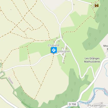
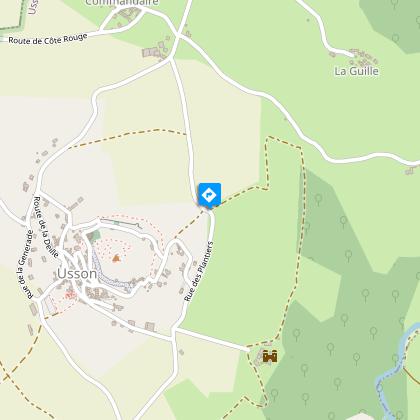
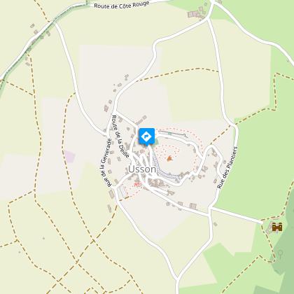
3 - Cross the road and pass in front of the transformer and head towards the village of Usson. Facing the cross and the fountain, go to the right. At the perimeter wall, go under the porch, then left (picnic area). Follow the small road passing between the houses. At the sight of the cross, take the path to the right and reach the top of the village of Usson (at the water tower, beautiful basalt organs). Go to the Romanesque church (panorama on the Sancy massif and the Cézallier).
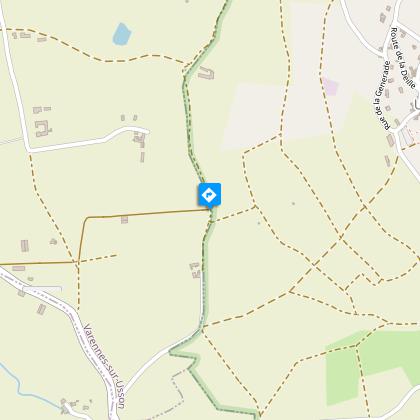
4 - From the church - educational signage in enamelled lava, historical on Queen Margot - (possibility to go back and forth to the top of the site of the Virgin of Usson, 360° view), go down into the village. At the exit of Usson, turn right by the road. At the last house, continue to the left. At the crossroads turn left. In a curve, take to the left a wide stony and then grassy path to a vineyard.
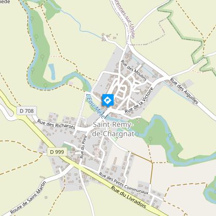
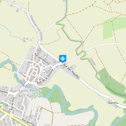
5 - Go to the right on the dirt road along a very old clay wall for about 700 m, then turn right. Cut the road, go in front. At the entrance of the castle (château de la Vernède, mill), continue to the left. Back to the mill, go opposite on a grassy path to the village of Saint-Rémy-de-Chargnat.
Technical Information
Altimetric profile
Starting point
Steps
Additional information
Environments
Mountain view
Presence of livestock and guard dogs
Updated by
Conseil départemental du Puy-de-Dôme - 24/11/2025
www.auvergne-destination.com
Report a problem
Open period
From 01/01 to 31/12 daily.
Subject to favorable weather.
Contact
Phone : 04 73 89 15 90
Email : tourisme@capissoire.fr
Website : http://www.issoire-tourisme.com
Animals
Yes
Data author
