Alert
Alerts
The Peak of Brionnet
IGN cards


Description
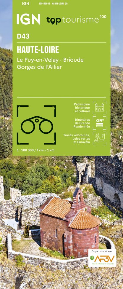
Overhanging 927 m from Saurier and Courgoul, the volcanic peak of Brionnet offers hikers a panoramic view of the couzes and massifs with an orientation table and an access to a romanesque chapel built on basalt organs.
Starting point - From the starting sign located in front of the Town Hall, go up the main street to the Place de la Porte Neuve (gate of the old fortified town). Turn left on the D146 towards Brionnet. At the exit of Saurier, in the bend, go up the path to the right until the road.
1 - Cross it and continue on the road opposite until you reach the hamlet of Rozier.
2 - Turn left, cross the hamlet (view of the Couze Pavin valley, the village of Creste and its ruined castle). After 800 m, take the first road on the right until you reach a paved road that leads to the road.
3 - Go up this road, then in the village of Brionnet take the first asphalt road on the right. At the top of the hamlet turn right into the sunken path and go to the road. Cross this road and take the courier that joins this same road. Continue to climb up to the pass.
4 - Turn right and follow the path then the trail to the top of the Pic du Brionnet (Notre-Dame du Mont Carmel chapel built on basalt columns, 360° panorama orientation table).
5 - Return to the pass (point 4), go down the hollow path to the right. Walk past the Lagouzoux farm (view of the Sancy massif). Continue up to the road (hairpin bend).
6 - Go down this one for 80 m. Take the first track on the left below and then turn left again 80 m further on. Join the road and go down the path on the left to continue the itinerary of the outward journey in the opposite direction until the starting point.
Technical Information
Altimetric profile
Starting point
Additional information
Environments
Mountain view
Mountain location
Presence of livestock and guard dogs
Updated by
Conseil départemental du Puy-de-Dôme - 24/11/2025
www.auvergne-destination.com
Report a problem
Open period
From 01/01 to 31/12 daily.
Subject to favorable weather.
Contact
Phone : 04 73 89 15 90
Email : tourisme@capissoire.fr
Website : http://www.issoire-tourisme.com
Animals
Yes
Data author
