Alert

Alerts

To see around
See more
Open
Close
Show
Show
Show
Show
Show
Show
Show
Show
Show
Show
Show

Oups... It would appear that Cirkwi does not have permission to use your location.

Presentation
Description
Map
Steps
Points of interest
Ratings and reviews
See around

Chemin de Barker en Vallée Dordogne Etape 4

Description

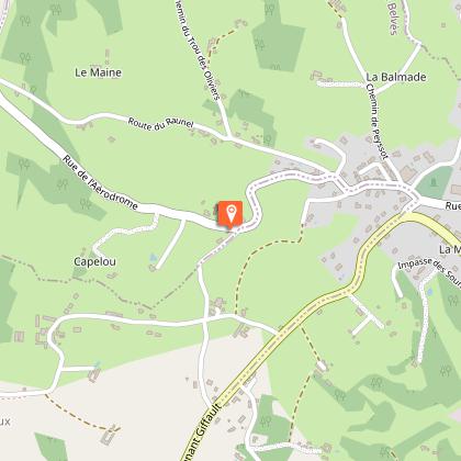
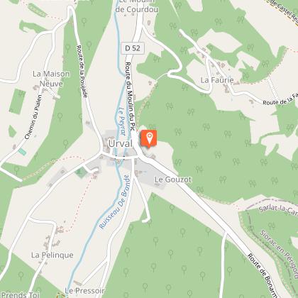
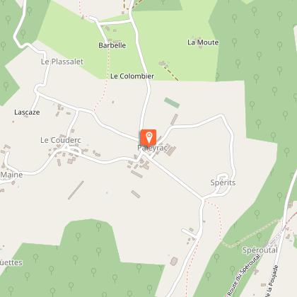
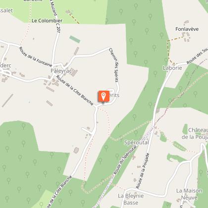
Harrison Barker was an English traveller who wrote books about his experiences in the south of France. "Two Summers in Guyenne, chronicle of the wayside and waterside" tells of his travels in the Dordogne. This 4th stage will take you from Belvès to Cadouin, on the way you will admire the Capelou chapel and the church of Saint Pardoux de Belvès. You will cross the forest of Béssede and at the bend of a path, stop to contemplate the dolmen of Bonarme. In Urval, do not miss the bread oven, a rare vestige of feudal life. Continue on your way and before arriving in Paleyrac, cross the hamlet of the spirits, the black crosses drawn on the doors are traces of the last great plague. You have finally arrived at Cadouin, a village with golden houses clustered around a market hall in the central square.

Technical Information

Walking
Difficulty
Hard
Dist.
21 km
Show more

Altimetric profile

Starting point

, 24170   PAYS DE BELVES
Lat : 44.7764451Lng : 1.00528579

Steps

image du object
4

Paleyrac-Cadouin

A Paleyrac, continuer sur la route, puis tourner à gauche direction Lascaze/ Le Plassalet, et prendre le premier chemin à droite. Continuer tout droit en laissant une petite route goudronnée sur votre droite en descendant. Arriver à un croisement, tourner à droite, traverser un nouveau lotissement, s’enfoncer dans la forêt en suivant le chemin. Sur la petite route, possibilité de rejoindre la gare du Buisson par le chemin à droite. Pour continuer vers Cadouin, prendre le chemin sur votre gauche. Au goudron, tourner à droite, puis prendre première petite route à gauche. Monter la côte tout droit. En haut de la côte, prendre à droite très brièvement, puis prendre le petit chemin à gauche, à flanc de coteau qui plonge ensuite dans le vallon. Après l’arrivée au fond du vallon, prendre le chemin en face qui remonte vers le village de Parizot. Dans le village, prendre la route à droite et descendre vers la D25. Sur la D25 faire quelques mètres à droite, puis prendre un petit chemin à gauche de l’autre côté de la route. Passer près d’un étang, puis tourner à gauche en laissant la balise jaune sur la droite. Remonter le chemin ombragé tout droit jusqu’à retomber sur la route après quelques kilomètres. Traverser et prendre le chemin en face pour rejoindre Cadouin. Arriver à Cadouin, longer la petite route tout droit, bifurquer vers la gauche puis longer sur quelques mètres la route départementale pour entrer dans le bourg.

- Dordogne -
Consulter

Points of interest

Additional information

Contact

Fixed telephone : +33 5 53 82 85 79
Philippe Debet Service du Tourisme
e-mail : p.debet@dordogne.fr
Web site (URL) : rando.cg24.fr/?page_id=43

Balisage

Yellow
Balisage jacquaire

Typologie de l'itinéraire

Walking trail

Thèmes

Compostela

Data author

Image Dordogne
proposed by Dordogne
24000 France

Ratings and reviews

To see around
See more
Open
Close
Show
Show
Show
Show
Show
Show
Show
Show
Show
Show
Show
Caution!
We have no information on the difficulty of this circuit. You may encounter some surprises along the way. Before you go, please feel free to inquire more and take all necessary precautions. Have a good trip! 🌳🥾