Alert
Alerts
Family hike at the ballon d'alsace


IGN cards








Description
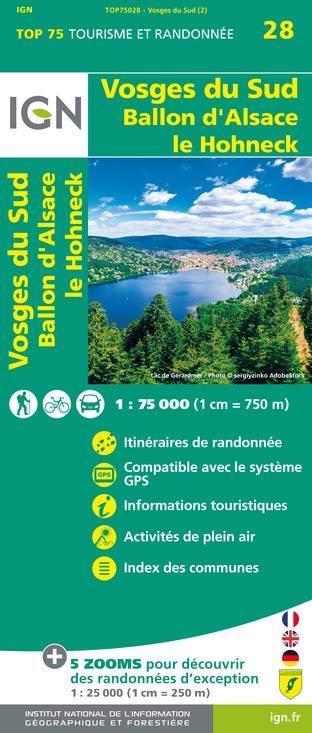
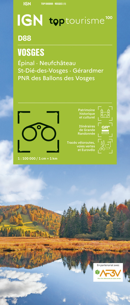
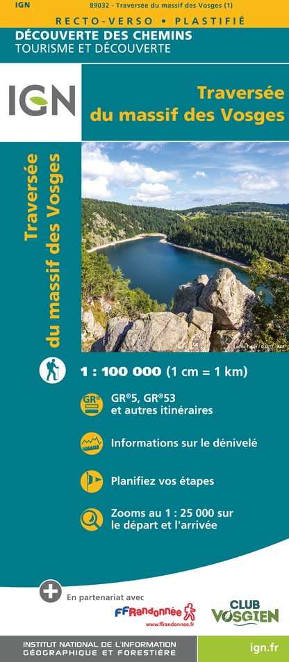
Take advantage of the quietness of the forest and the amazing views during this hike that will offer you all the charms of the Ballon d'Alsace, highest point of the southern Vosges. Warning: this walk passes through the protected area of the Ballons Comtois Nature Reserve, dogs are forbidden, even on a leash. Duration: 2h - Length: 6 km - Elevation: +140 m - Markings: Yellow point - Red rectangle - Blue ring - Red point. Access: National 66, at the tourist office of St Maurice sur Moselle take the D486 which is just opposite and go up to the top of the pass. Departure: Maison du Tourisme at the top of the Col du Ballon d'Alsace. Route: - From the car park of the Maison du tourisme, go towards the forest behind the monument "L'Homme projeté" by following the path between the chalet dedicated to cross-country skiing and the sign "Réserve naturelle des Ballons Comtois" (yellow point/red rectangle GR5). - Pass in the forest - At the first crossing (after the board "Forêt Domaniale du Ballon d'Alsace"), turn right and follow the blue ring markings "Chemin Colas". At the crossroads 30m further on, turn right again following the same marks: "Ballon d'Alsace 1h30 par le Chemin Colas - Jumenterie 0h45". - Follow this path for about 1km. Look at the Ballon de Servance on your left, which is characterized by its antenna at its top. - You arrive at a small cleared area bordering the road. Follow the path which leads up on the right (blue ring "Jumenterie") - Go up during almost 200m on this rather steep short part, it leads to the cow park in which you pass. - Cross the field and then follow the road, staying in the meadow until you reach the building in front of you (the "Jumenterie"). - Cross the road, pass in front of the building and go along on its right side following the path (red point, direction "Sommet du Ballon") - You arrive at a small chalet (the red point is on its left side). You can have a break at the picnic table and the look at the cows (depending on the season). - The picnic table in your back , take the uphill path that goes under the ski lift. - Leave the cow park by following the path, continue for about 600m, through the forest and the blueberries. - When you reach the clearing, follow the path that leads along the meadow on your right. Depending on the weather and the season, you may see horses. - You can reach the path on your left "le Sentier Découverte" that lead up to the statue of Jeanne d'Arc. Otherwise turn right and reach your starting point. IGN map reference 3520 OT available in the tourist offices. The GPX route and the description in french of the walk are downloadable above.
Technical Information
Altimetric profile
Starting point
Additional information
Producteur de la donnée
Ces informations sont issues de la plateforme SITLOR - Système d’Information Touristique - Lorraine
Elles sont synchronisées dans le cadre du partenariat entre Cirkwi, l’Agence régionale du Tourisme Grand Est et les membres du comité technique de Sitlor.
Contact
Tel : 03 56 11 00 90
Email : info.tourisme@ballons-hautes-vosges.com
Site web : www.ballons-hautes-vosges.com/


