Alert
Alerts
Le sentier du meunier - moulins de Razel
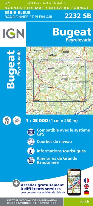
IGN cards


Description
Discover the mills and village of Razel along the Chemin du Meunier.
Along the way, you'll see the Barsanges peat bog below the parking lot, the Orluguet stream, the diversion on the stream that gives rise to the millstream essential to the operation of the three mills, a plank bridge, low-walled paths and the village of Razel...
For more information, you can download the PDF file or take the trail sheet available in the mailbox at the starting point.
Technical Information
Altimetric profile
Starting point
Additional information
Contact
Fixed telephone : +33 5 19 60 00 30
e-mail : accueil@otc-haute-correze.fr
Web site (URL) : www.tourisme-hautecorreze.fr/
Typologie de l'itinéraire
Loop
Nature trail
Durée moyenne de l'expérience
Less than 1 hour
Accessible aux personnes à mobilité réduite
Non
Thèmes
Cultural
Data author
