Alert
Alerts
St-Michel l'Observatoire on horseback


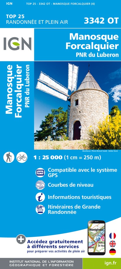
IGN cards




Description
A horseback ride in full which reveals the diversity of the landscapes and the harmony of the rural heritage of the Luberon.
Turn left at the back of the parking lot, pass the town hall and follow the street to the right for 300m.
1 - Take two rights. Pass in front of the cemetery, take a left at the 1st intersection and turn right after the steep path. Further down, climb the narrow path to the left. At the top, take the track to the right, then continue straight. At the crossroads "Tour de Porchères", turn left, pass a house, then turn right. Head into the woods (stony passages) and go around by the right the old quarries (private property). Take a right at the Y-shaped fork.
2 - At the crossroads "Petit Sauvan", turn left towards Saint-Jean. Turn left after 150m and continue straight (low branches). Continue the track, pass a house and turn left on the small road. Descend on the D305 and follow to the left for 200meters (traffic!).
3 - Turn right, go past the shed and ascend calmly (pebbly section). Turn left at the first crossroads, go along an old wall and go down to go up on the plateau. At a series of crossroads, continue straight. Reach to the D5 (traffic!), descend 50m to the right, then turn left. At the crossroads "Le Roure", continue straight. then pass over a home. Take two lefts and reach the D205. Continue on the right until Lincel (traffic!)
4 - In front of the church, turn left and continue straight when exiting the village. Leave the GR on the right to continue on the small road. At the end, go across and pass under a rocky ridge (source) and continue on the path into the woods (smooth slope). After a steep path, take the path on the right going down until the D205.
5 - Follow the road to the right that leads back to St-Michel-l'Observatoire (traffic!). At the entrance of the village, do not turn across the narrow one-way, but continue on the right. At the stop sign, go straight to reach the car park of the starting point.
Technical Information
Altimetric profile
Starting point
Points of interest
Additional information
Advised parking
Car park of Bardouin, south of the town hall, St-Michel l'Obs. (just to the right upon entering the village through the D105).
Public transport
Advice
Difficulties on specific fields:
(before the point 2), two rocky passages.
(after point 2) low branches.
(after point 3); a rocky section;
(Between points 4 and 5) walk on the slighlty overhanging slabs.
Accessibility infrastructure
Access
Village of Saint-Michel-l'Observatoire, at 16km from Manosque by the D907 and D105, or 21km from La Brillanne by Forcalquier and the D4100 and D105.
Arrival
Car park of Bardouin, south of the town hall, Saint-Michel l'Observatoire
Ambiance
Easy and varied route, with two thirds of trails, wide paths and tracks, offering beautiful views of the Craux de Saint-Michel, the Lure mountain, but also the Luberon Oriental, the plateau of Valensole and the entry of the Gorges du Verdon far away. The crossings of Saint-Michel-l'Observatoire and Lincel suggest their rich heritage; churches, chapels, Romanesque tower, windmill, castle, oldfaçades, beautiful doors and fountains.
Departure
Car park of Bardouin, south of the town hall, Saint-Michel l'Observatoire


