Alert
Alerts
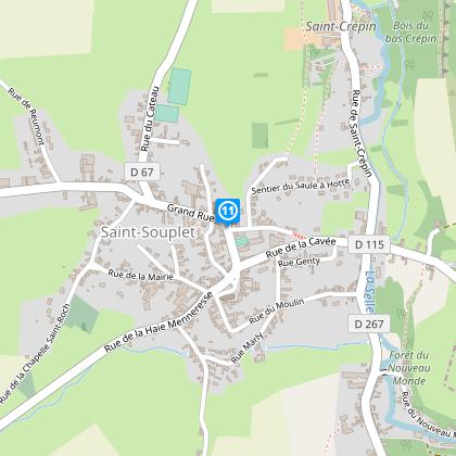
Around Saint Souplet


The Cirkwi brief
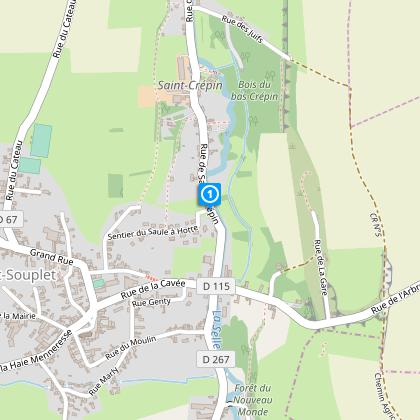
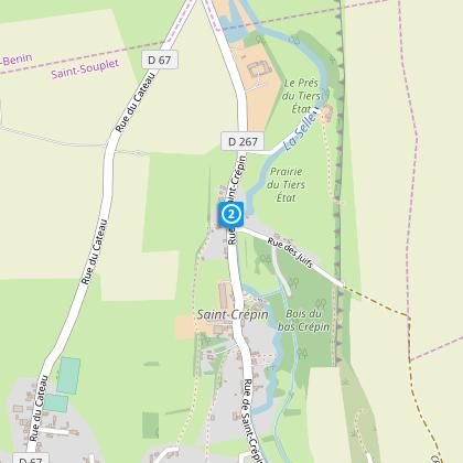
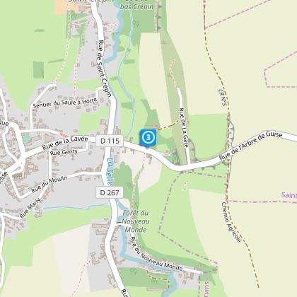
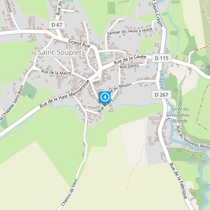
Nestled in the verdant heart of the Selle valley, the itinerary curated by Nord Tourisme entices travelers with its mix of agricultural paths and quaint country roads, marking the gateway to the Avesnois and Aisne. Emphasizing the essence of rural France, the route offers an intimate glimpse into the serene landscape, where the melody of nature's own symphony provides the soundtrack to your exploration. With each step taken on this journey, the allure of the countryside unfolds, making it an ideal escape for those yearning to immerse themselves in the tranquility of pastoral life.
Technical Pathway Overview
This well-defined route spans approximately 13.7 kilometers, with an altitude fluctuation between 104 meters at its lowest point and 161 meters at its highest, contributing to a total positive elevation gain of approximately 154 to 155 meters. Marked by the distinctive yellow waymarks, it guides walkers through varied terrains, requiring a moderate level of fitness. Given these metrics, the route presents an engaging challenge for enthusiasts, emphasizing endurance over agility, indicating a moderate difficulty level suitable for most hikers.
Seasonal Hiking Advice
For an optimal experience, footwear selection is paramount; waterproof shoes are advised, especially during rainy seasons to navigate the trails comfortably. Spring unveils the lushness of the verdant landscape, making it a visually rewarding time for the hike. Summer, while offering longer daylight hours, necessitates sunscreen and adequate hydration. Autumn’s palette of colors enhances the path's scenic beauty. Winter, although serene, demands caution due to slippery paths. Regardless of the season, always check the weather forecast before embarking on your journey to ensure a safe and enjoyable hike.
A Glimpse Into Regional History
Positioned at the gates of Avesnois and Aisne, Saint Souplet is not just a departure point but a historical canvas, painting centuries of agricultural and war-related narratives. It sits in a region where every path and stone bears witness to the past, from ancient farming traditions to battlegrounds of both World Wars. The countryside, with its undulating fields and quiet woods, serves as a living museum, inviting those who walk its paths to reflect on the resilience and narratives that have shaped this part of France into what it is today.
Local Weather Insights
The climate in Saint Souplet, like much of this region, is temperate with distinct seasonal changes. Winters are cold, making layers and weatherproof gear essential for anyone venturing outdoors. Spring brings mild temperatures and a reawakening of nature’s colors, arguably one of the best times for hiking. Summer can be warm, necessitating sunscreen and plenty of fluids. Autumn sees cooler temperatures and occasional rainfall. For the most pleasant experience, aim for a visit between late spring and early autumn, when the weather is most conducive to outdoor activities.
IGN cards


