Alert
Alerts
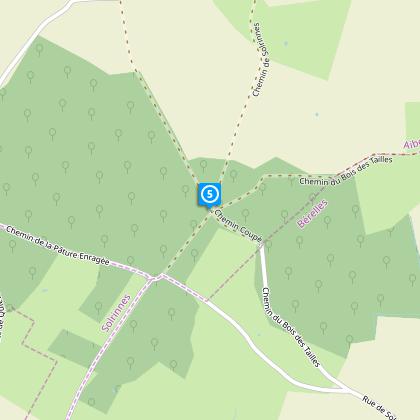
Circuit des Bois de Fagne


The Cirkwi brief
Craving a haven of tranquility, a stroll through landscapes that whisper tales of serenity and natural beauty? The Circuit des Bois de Fagne, curated by Nord Tourisme, promises not just an escape but an adventure into the peaceful embrace of the Northern countryside. Imagine walking under the sun, amidst the undulating hills and verdant woods that seem too idyllic to belong to the North, especially when kissed by sunlight. During rainy days, the landscape transforms, urging you to equip yourself with waterproof footwear for the journey ahead.
Essential Stats for the Avid Trekker
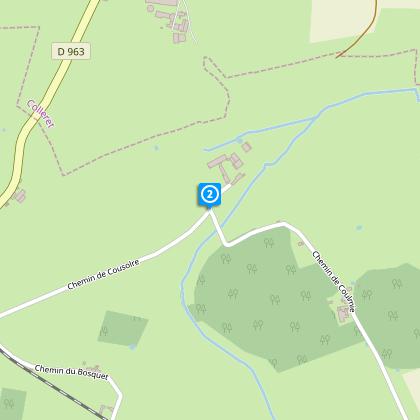
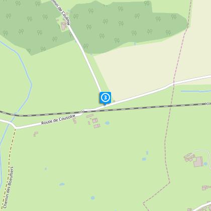
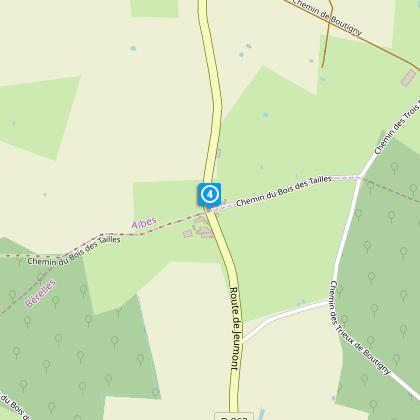
The Circuit des Bois de Fagne stretches over a distance of 10.7 km, with elevation points varying slightly between 180 to 225 meters. This trail showcases a modest elevation gain, oscillating between 92 to 93 meters, making it an accessible yet engaging route for enthusiasts of all levels. The trail is clearly marked with yellow signs, guiding trekkers along this scenic route. Remember, every step over the diverse terrain brings its own joy and challenge.
Seasonal Tips for Your Journey
Regardless of the season, the Circuit des Bois de Fagne has its unique allure. In spring, the burgeoning greenery and blooming flowers create a vibrant tapestry against the soft earth. Come summer, the canopy provides a welcomed respite from the sun's rays. For an autumn trek, the path is a riot of colors, with crisp air accompanying your steps. Winters, albeit chilly, offer a stark, serene beauty. However, do remember to wear appropriate footwear to handle the trail's sections that can become slippery, especially during rain or snow.
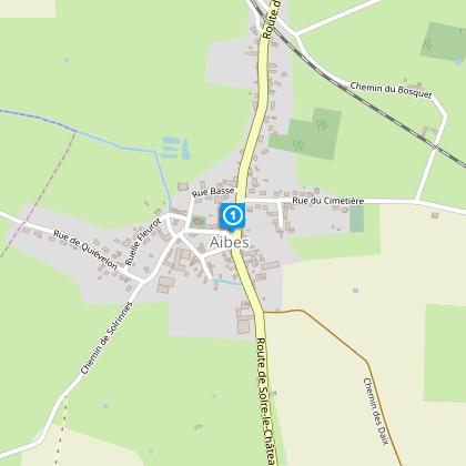
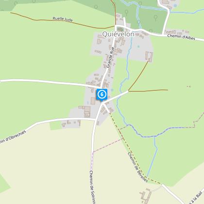
Delve into Aibes' Rich Heritage
Nestled in the heart of the Nord department, Aibes, the starting point of this journey, is more than just a mere dot on the map. This region, bathed in rich history and cultural tapestry, stands as a testament to the resilient and vibrant spirit of the North. From the green expanses that cloak the countryside to the silent whispers of history in the air, Aibes and its surroundings embody a blend of natural beauty and historic tales waiting to be discovered.
Understanding the Local Climate
The Circuit des Bois de Fagne, located in the tempered climes of Northern France, experiences a diverse range of weather patterns. The region's climate generally leans towards mild, with distinct seasons that each bring their own beauty and challenges to the trail. Spring and fall are particularly pleasant for hiking, offering moderate temperatures and a spectacular display of nature's colors. However, visitors are encouraged to consider the late spring through early autumn months for the most comfortable trekking conditions.
IGN cards