To see around
See more
Open
Close
Show
Show
Show
Show
Show
Show
Show
Show
Show
Show
Show

Oups... It would appear that Cirkwi does not have permission to use your location.

Description
Map
Steps
Points of interest
Cirkwi brief's
Ratings and reviews
See around

Between Lands and Waters

Hergnies étang d'amaury
Credit : Nord Tourisme

The Cirkwi brief

Discover Hergnies: A Breathtaking Trail Between Land and Water

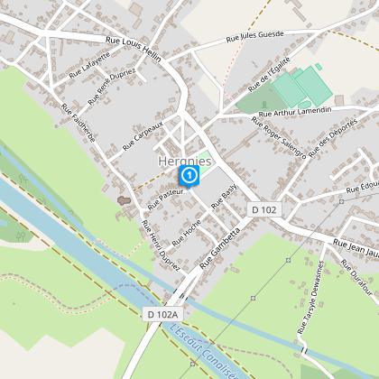
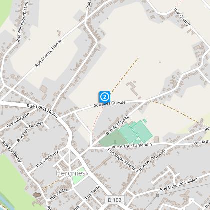
Embark on an invigorating journey through Hergnies's remarkable landscape with the "Entre Terres et Eaux" trail, meticulously crafted by Nord Tourisme. This trail invites both casual walkers and seasoned hikers alike to explore the beauty of nature, intertwined with the allure of aquatic marvels. As you meander along this carefully marked yellow trail, expect to engage with an environment that beautifully oscillates between land and water, especially during the rainy season. Its split between shorter stretches for families and a longer route for avid hikers ensures an inclusive experience, promising unforgettable moments of discovery and tranquility.


Technical Specs You Need to Know

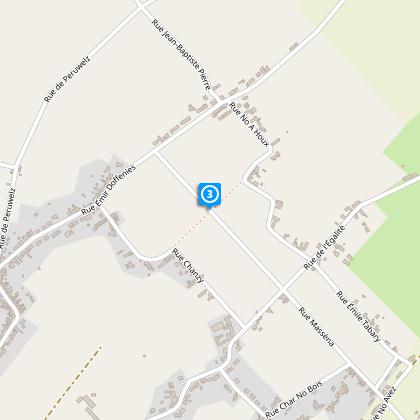
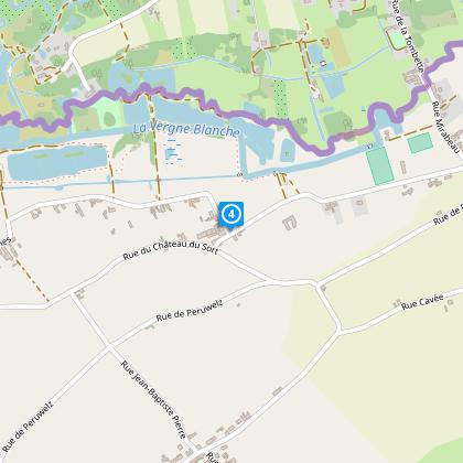
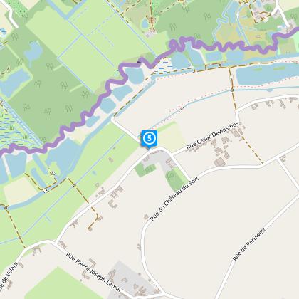
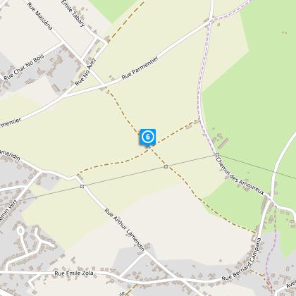
Spanning 12.5 kilometers, the "Entre Terres et Eaux" trail offers a comprehensive exploration of Hergnies's varied terrain. The journey traverses an altitude range from 16 to 29 meters above sea level, presenting a modest total elevation gain between 25 and 26 meters. The trail's design allows for an all-encompassing "8" figure loop or the option to undertake shorter 5.5 or 7 km segments, catering to different levels of walking habitualness. Marked with yellow signs, navigators can effortlessly follow the trail, ensuring a focused and immersive outdoor adventure.


Seasonal Advice for Trail Wanderers

As your local guide through Hergnies, I recommend gearing up with waterproof footwear, especially during wet seasons, to comfortably traverse the "Entre Terres et Eaux" trail. Spring and autumn offer lush, vibrant landscapes, though paths may be more waterlogged. Summer presents an ideal time for families to enjoy the shorter routes, basking in the warmth while exploring. Regardless of the season, staying hydrated and carrying a map or GPS device for navigation is crucial. Always respect local flora and fauna, ensuring the preservation of this beautiful trail for future adventurers.


Exploring the Historical Landscape of Hergnies

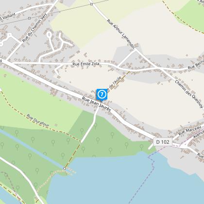
Hergnies, nestled in the Nord department, stands as a testament to a rich tapestry of history and culture. This trail not only showcases the natural beauty of Northern France but also meanders through landscapes dotted with historical remnants. Its significance stretches beyond mere geographical boundaries, providing a glimpse into the cultural heritage of the region. Hergnies, with its welcoming community and picturesque surroundings, serves as the perfect starting point to immerse yourself in the blend of history and nature that characterizes this unique area.


Weather Patterns and Optimal Visiting Times

Hergnies: Climate Insights and Best Visit Seasons


The climate in Hergnies is predominantly temperate, marked by distinct seasons that each offer a unique charm to the "Entre Terres et Eaux" trail. Winters, while colder, can occasionally present serene snowy landscapes, making waterproof gear essential. Spring and autumn introduce a palette of colors and cooler, refreshing temperatures ideal for hiking. However, be prepared for sporadic rains. The mild summers, characterized by longer daylight hours, provide ample opportunity for extended treks. For an optimal experience, late spring to early autumn is highly recommended for trail enthusiasts.
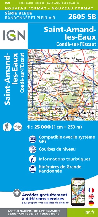
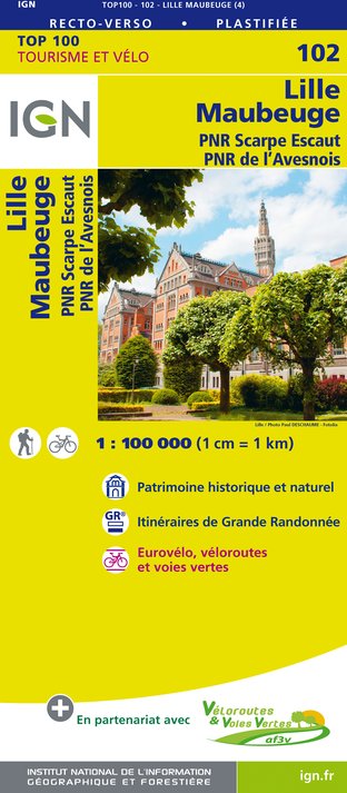
Automatically generated.

Technical Information

Walking
Difficulty
Easy
Duration
3h15mn
Dist.
13 km
Show more

Altimetric profile

Starting point

Place verte, 2 Place de la République , 59199HERGNIES
Lat : 50.4839562531Lng : 3.53364231521

Steps

image du object
1

Point 1

Dos à la pierre gravée de la place en herbe, empruntez la rue de l’Egalité à droite, traversez la rue et obliquez peu après, à gauche, sur un chemin entre les pâtures, puis, à droite, suivez un étroit passage herbeux entre jardins et ruisseau.

- Département du Nord -
Consulter
image du object
2

Point 2

Au croisement de quatre chemins, prenez à droite entre champs et jardin puis longez la route à gauche. Continuez tout droit jusqu’à apercevoir une grande allée de peuplier –la Chasse Napoléon – et empruntez à gauche la route juste avant cette allée. Dans le virage, engagez vous à droite sur le passage entre les deux prairies humides pour rejoindre le centre de la Chasse Napoléon.

- Département du Nord -
Consulter
image du object
3

Point 3

Arrêtez vous à la seconde pierre gravée du circuit. Coupez la Chasse Napoléon et poursuivez votre chemin entre les prairies. Continuez à gauche sur la route vers l’école de Noe à Houx. Après l’école, au stop, effectuez un crochet gauche/droite et rejoignez, après 350 m, une voie pavée. Tournez à droite vers la petite ferme. A l’intersection suivante, descendez à gauche, puis suivez la première rue à droite.

- Département du Nord -
Consulter
image du object
4

Point 4

A la route, continuez tout droit puis tournez dans le premier chemin sur la gauche –troisième pierre gravée. Au bout, empruntez la passerelle et utilisez ce sentier traversant les roselières et le site du Grand Marais –au rythme des chants des oiseaux. Rencontrez la quatrième borne, un observatoire et quittez le site, sur une route. Bien suivre le balisage.

- Département du Nord -
Consulter
image du object
5

Point 5

Empruntez la route à gauche sur 100 m puis, dans le virage, continuez en face par le chemin enherbé. Au bout du chemin, prenez à droite . Continuez tout droit jusque la rue Marcel Sembat. Suivez à droite la rue de Péruweltz. A l'intersection, tournez à gauche puis à droite, retrouvez la Chasse Napoléon, par la Margelle. Tournez encore à droite et continuez tout droit.

- Département du Nord -
Consulter
image du object
6

Point 6

Continuez tout droit. A l’intersection suivante, continuez à droite (rue Campana) puis à gauche rue de l’Asile.

- Département du Nord -
Consulter
image du object
7

Point 7

Traversez prudemment la route et continuez tout droit jusqu’aux berges de l’Escaut en empruntant une passerelle sur le Jard. Découvrez la cinquième borne et longez l’étang d’Amaury. Continuez tout droit puis un gauche-droite sur la route. Passez les bâtiments du centre d’accueil de la base d’Amaury. Puis tournez à droite pour rejoindre le canal de l'Escaut. Bien suivre le balisage.

- Département du Nord -
Consulter
image du object
8

Point 8

Avant le pont, quittez les berges du canal. Prendre le petit escalier pour rejoindre la RD 102A. Suivez à gauche la rue Henri Dupriez. Prudence en traversant. Avant l’église, tournez à droite et retrouvez la place Verte.

- Département du Nord -
Consulter

Ratings and reviews

To see around
See more
Open
Close
Show
Show
Show
Show
Show
Show
Show
Show
Show
Show
Show
Caution!
We have no information on the difficulty of this circuit. You may encounter some surprises along the way. Before you go, please feel free to inquire more and take all necessary precautions. Have a good trip! 🌳🥾