Alert
Alerts
Type of practice
Walking
Very easy
3h30mn
Presentation
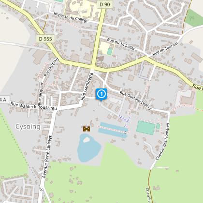
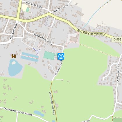
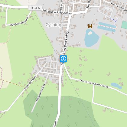
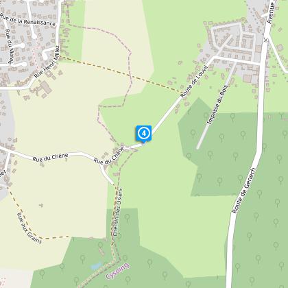
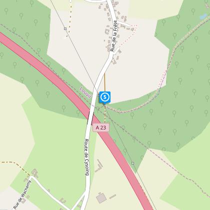
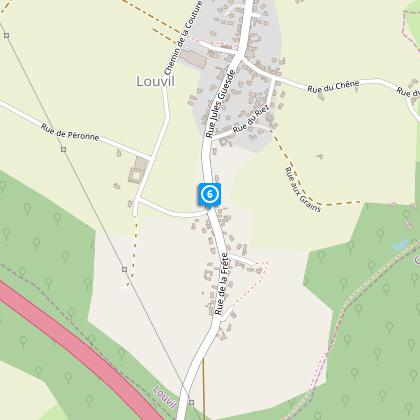
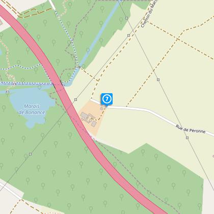
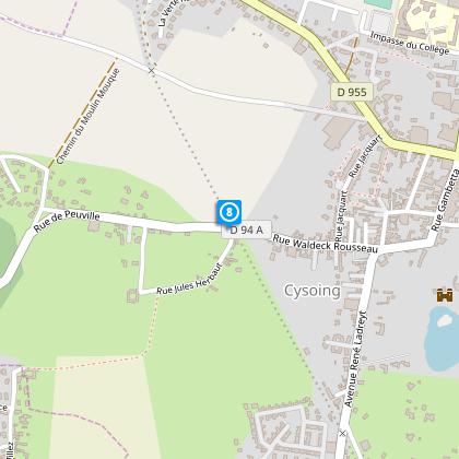
Map
Steps
Cirkwi brief's
Ratings and reviews
See around
Willow Circuit

Credit : Département du Nord
The Cirkwi brief
Discover Cysoing's Scenic Circuit des Osiers Trail
Nestling in the picturesque landscapes of Cysoing, the Circuit des Osiers offers a tranquil gateway right at the heart of nature, crafted splendidly by Nord Tourisme. Winding through serene country roads and earthy paths, this itinerary is a testament to the area's unspoiled charm. Envision traversing through varying altitudes with the yellow markers guiding your path, ensuring a seamless adventure. It's not just a trail; it's an experience enveloping you in the soothing embrace of Cysoing's countryside, perfect for those seeking a blend of relaxation and exploration away from the hustle and bustle. The journey promises an accessible year-round adventure, with verdant landscapes that shift eloquently with the seasons.
Technical Details Unveiled
The Circuit des Osiers, spanning a total of 13.53 kilometers, is characterized by a minimal elevation range from 28 to 51 meters, with a total positive altitude change recorded at 29 meters. This relatively flat terrain positions the trail as an ideal choice for beginners or those seeking a leisurely hike. Participants are advised to be cautious at the crossings of RD 90 and RD 94. The trail's accessibility throughout the year and its well-marked (yellow) paths contribute to a straightforward, enjoyable experience that doesn’t demand significant physical exertion, making it apt for a broad audience seeking the pleasure of outdoor activities.
Seasonal Tips and Safety
As your local guide, I recommend waterproof footwear, especially during the wetter months when the paths can be muddy. The allure of the Circuit des Osiers magnifies with each season, offering a distinctly charming experience all year round. In spring, the lush surroundings come to life, while autumn coats the trail in a kaleidoscope of colors. It's important to stay hydrated during summer days and to dress warmly in winter. Always heed the yellow trail markers and exercise caution when crossing roads. Let’s respect nature's tranquility and leave no trace behind, preserving the pristine condition of our cherished trail.
Historical Insights of Cysoing
Cysoing's rich tapestry is intertwined with the historical and cultural vibrancy that dates back to antiquity. Positioned in the Hauts-de-France region, it has been a confluence of art, history, and architecture, reflecting centuries of evolution. This trail not only offers a physical journey through scenic routes but also traverses through a historical landscape steeped in heritage. The region, once part of the Spanish Netherlands, has seen various influences, leaving behind a legacy that adds depth to every traveler's journey. Cysoing itself, with traces of its relentless spirit since Roman times, stands as a living testimony to resilience and beauty through the ages.
Weather Patterns and Best Visiting Times
The climate of Cysoing is predominantly oceanic, with mild temperatures round the year and moderate rainfall distributed evenly. This makes the Circuit des Osiers a desirable destination virtually any time of the year. However, for those looking to enjoy the trail at its most vibrant, the late spring to early summer period offers an ideal balance of pleasant weather and the natural splendor of the countryside in full bloom. Similarly, early autumn presents a picturesque scene, with the changing foliage painting the landscape in a brilliant array of colors. Always check the local weather forecast before embarking on your journey to ensure the best possible experience.
Automatically generated.
IGN cards

2505SB - HÉNIN-BEAUMONT CARVON LEFOREST
Editor : IGN
Collection : TOP 25 ET SÉRIE BLEUE
Scale : 1:25 000
13.90€

102 LILLE MAUBEUGE PNR SCARPE ESCAUT PNR DE L'AVESNOIS
Editor : IGN
Collection : TOP 100
Scale : 1:100 000
8.40€

D59-62 NORD PAS-DE-CALAIS
Editor : IGN
Collection : CARTES DÉPARTEMENTALES IGN
Scale : 1:150 000
5.90€

NR05 GRAND EST RECTO/VERSO MASSIF DES VOSGES ALSACE LORRAINE
Editor : IGN
Collection : CARTES RÉGIONALES IGN
Scale : 1:250 000
6.80€

NR04 - GRAND EST RECTO/VERSO ARDENNE CHAMPAGNE
Editor : IGN
Collection : CARTES RÉGIONALES IGN
Scale : 1:250 000
6.80€

NR01 HAUTS-DE-FRANCE
Editor : IGN
Collection : CARTES RÉGIONALES IGN
Scale : 1:250 000
6.80€

EUROPE
Editor : IGN
Collection : DÉCOUVERTE DES PAYS DU MONDE IGN
Scale : 1:2 500 000
7.00€

PAYS-BAS BELGIQUE LUXEMBOURG
Editor : IGN
Collection : DÉCOUVERTE DES PAYS DU MONDE IGN
Scale : 1:300 000
7.00€
Technical Information
Walking
Difficulty
Very easy
Duration
3h30mn
Dist.
14 km
Type of practice
Walking
Very easy
3h30mn
Show more
Altimetric profile
Starting point
96-140 Rue Aristide Briand
,
59830
CYSOING
Lat : 50.5661681884Lng : 3.21589820051
Steps
Data author

Ratings and reviews
To see around