Alert
Alerts
Type of practice
Walking
Medium
3h
Presentation
Description
Map
Ratings and reviews
See around
R12 Les Blagiers


IGN cards

3039ET - VALRÉAS SAINT-PAUL-TROIS-CHÂTEAUX
Editor : IGN
Collection : TOP 25 ET SÉRIE BLEUE
Scale : 1:25 000
13.90€

VEL01 - LA DRÔME A VELO
Editor : IGN
Collection : DECOUVERTE A VELO
Scale : 1:105 000
9.10€

VEL03 - LE VAUCLUSE A VÉLO
Editor : IGN
Collection : DECOUVERTE A VELO
Scale : 1:100 000
9.10€

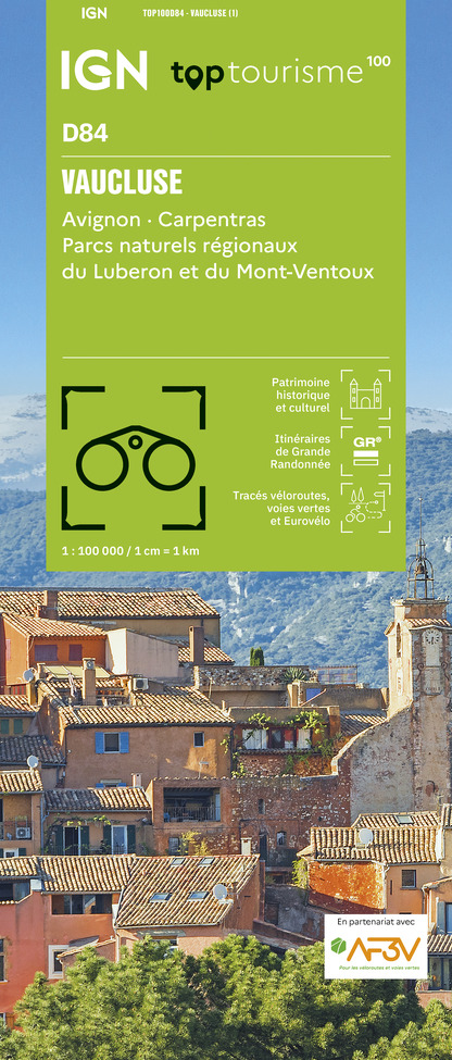
TOP100D84 - VAUCLUSE AVIGNON CARPENTRAS PARCS NATURELS RÉGIONAUX DU LUBERON ET DU MONT-VENTOUX
Editor : IGN
Collection : TOP 100
Scale : 1:100 000
8.40€

TOP100D26 - DRÔME VALENCE MONTÉLIMAR DIE PNR DES BARONNIES PROVENÇALES PNR DU VERCORS
Editor : IGN
Collection : TOP 100
Scale : 1:100 000
8.40€

TOP100D07 - ARDÈCHE PRIVAS AUBENAS VALLON-PONT-D'ARC PNR DES MONTS D'ARDÈCHE
Editor : IGN
Collection : TOP 100
Scale : 1:100 000
8.40€

D07-26 ARDÈCHE DRÔME
Editor : IGN
Collection : CARTES DÉPARTEMENTALES IGN
Scale : 1:150 000
5.90€

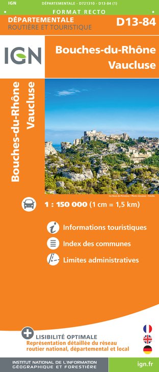
D13-84 BOUCHES-DU-RHÔNE VAUCLUSE
Editor : IGN
Collection : CARTES DÉPARTEMENTALES IGN
Scale : 1:150 000
5.90€

NR16 PROVENCE-ALPES-CÔTE D'AZUR
Editor : IGN
Collection : CARTES RÉGIONALES IGN
Scale : 1:250 000
6.80€

EUROPE
Editor : IGN
Collection : DÉCOUVERTE DES PAYS DU MONDE IGN
Scale : 1:2 500 000
7.00€
Description
Medium level hiking loop on small tarmac roads with light traffic and small rocky paths. Some fairly steep climbs but over short distances.
Remarkable views of the Lance, the Dentelles de Montmirail ...
Technical Information
Walking
Difficulty
Medium
Duration
3h
Dist.
10 km
Type of practice
Walking
Medium
3h
Show more
Altimetric profile
Starting point
Cours Saint Antoine
,
84600
Valréas
Lat : 44.383479Lng : 4.994198
Additional information
Updated by
Office de Tourisme Communautaire Pays de Grignan et Enclave des Papes - 10/04/2025
www.dromeprovencale.fr/grignan-valreas/
Report a problem
Contact
Phone : 04 90 35 04 71
Email : info@grignanvalreas-tourisme.com
Website : www.dromeprovencale.fr/grignan-valreas/
Type of land
Stone
Ground
Grit
Not suitable for strollers
Data author
12 Place du Jeu de Ballon 26230 Grignan France
Ratings and reviews
To see around


