Alert
Alerts
Type of practice
Walking
Very easy
2h30mn
Presentation
Description
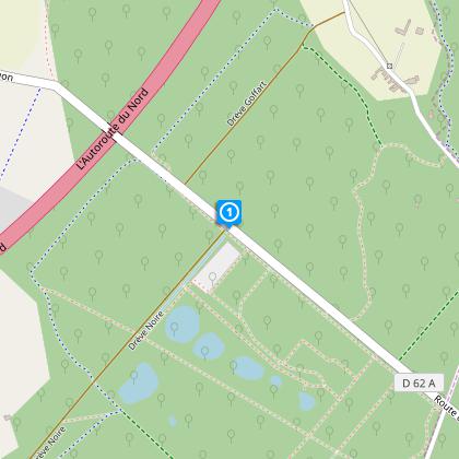
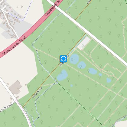
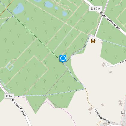
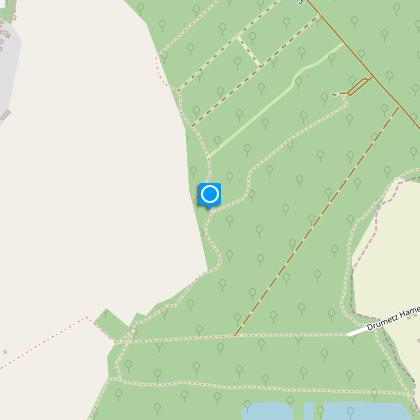
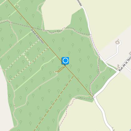
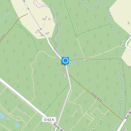
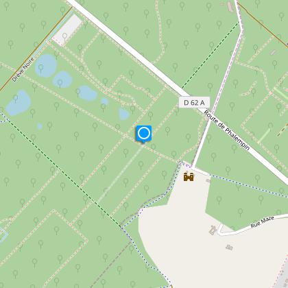
Map
Steps
Points of interest
Cirkwi brief's
Ratings and reviews
See around
Phalempin Circuit_variant


Credit : Nord Tourisme
The Cirkwi brief
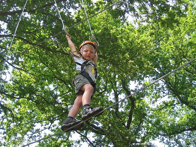
Discover Phalempin Forest: A Year-Round Family Adventure
The Phalempin Circuit offers a delightful forest stroll that's suitable throughout the year, showcasing the changing seasons in a captivating way. Crafted with families in mind, this route, presented by Nord Tourisme, features picnic spots designed for comfortable breaks amidst nature. However, when planning this excursion, remember that rainy periods could demand waterproof footwear to enjoy the experience fully. It’s a journey that not only offers a connection with nature but is also an invitation to engage in an adventure that varies with the seasons.
Brief Technical Overview
Covering a distance of approximately 9.91 kilometers, with an altitude range between 42 to 58 meters, the Phalempin Circuit offers a gentle yet engaging walking experience. The path, marked by yellow symbols, boasts a total positive elevation of 74 meters. This balanced elevation makes it an accessible option for a wide range of fitness levels. The route begins near the Phalempin train station, stretching to the parking area of the ponds, and delivers a well-rounded walking journey.
Seasonal Tips and Safety
To make the most of your Phalempin forest adventure, it's crucial to come well-prepared for the region’s varied weather. During spring and summer, the forest is lush and offers cool shade, but ensure you're protected against ticks. Autumn brings beautiful foliage; however, visibility decreases, and paths may be slippery with fallen leaves, demanding careful footing. Winter walks are magical with frost, but be wary of icy paths. Regardless of the season, always carry out your litter to keep the forest pristine for everyone.
Local Culture and History
Phalempin, nestled in the heart of the Nord-Pas-de-Calais region, is rich in cultural and historical significance. This area, with its sprawling forests and distinct landscape, has been a backdrop to numerous historical events, playing a pivotal role in the region's development over centuries. The Phalempin forest itself serves as a living monument, offering visitors a glimpse into the natural heritage that has been preserved and cherished by generations.
Weather Insights and Best Visit Times
The climate in Phalempin is generally temperate, with variations across seasons that influence the best times for a visit. Considering the region's weather patterns, the optimal periods for experiencing the Phalempin Circuit at its best are late spring and early autumn. During these times, the weather is usually mild, with lower chances of rainfall, providing ideal conditions for exploring the forest comfortably and safely.
Automatically generated.
IGN cards
2505SB - HÉNIN-BEAUMONT CARVON LEFOREST
Editor : IGN
Collection : TOP 25 ET SÉRIE BLEUE
Scale : 1:25 000
13.90€
102 LILLE MAUBEUGE PNR SCARPE ESCAUT PNR DE L'AVESNOIS
Editor : IGN
Collection : TOP 100
Scale : 1:100 000
8.40€

101 LILLE CALAIS LE TOUQUET-PARIS-PLAGE PNR DES CAPS ET MARAIS D'OPALE
Editor : IGN
Collection : TOP 100
Scale : 1:100 000
8.40€

D59-62 NORD PAS-DE-CALAIS
Editor : IGN
Collection : CARTES DÉPARTEMENTALES IGN
Scale : 1:150 000
5.90€

NR01 HAUTS-DE-FRANCE
Editor : IGN
Collection : CARTES RÉGIONALES IGN
Scale : 1:250 000
6.80€

NR05 GRAND EST RECTO/VERSO MASSIF DES VOSGES ALSACE LORRAINE
Editor : IGN
Collection : CARTES RÉGIONALES IGN
Scale : 1:250 000
6.80€

NR04 - GRAND EST RECTO/VERSO ARDENNE CHAMPAGNE
Editor : IGN
Collection : CARTES RÉGIONALES IGN
Scale : 1:250 000
6.80€

EUROPE
Editor : IGN
Collection : DÉCOUVERTE DES PAYS DU MONDE IGN
Scale : 1:2 500 000
7.00€

PAYS-BAS BELGIQUE LUXEMBOURG
Editor : IGN
Collection : DÉCOUVERTE DES PAYS DU MONDE IGN
Scale : 1:300 000
7.00€
Technical Information
Walking
Difficulty
Very easy
Duration
2h30mn
Dist.
9.9 km
Type of practice
Walking
Very easy
2h30mn
Show more
Altimetric profile
Starting point
Gare
,
59133
PHALEMPIN
Lat : 50.5093317449Lng : 3.03511639327
Steps
Data author

Ratings and reviews
To see around