Alert
Alerts
Type of practice
Walking
Medium
4h
Presentation
Description
Map
Ratings and reviews
See around
N°57 Panorama de Narbissat


IGN cards

1547OTR - OSSAU VALLÉE D'ASPE RESISTANTE PN DES PYRÉNÉES
Editor : IGN
Collection : TOP 25 RÉSISTANTE
Scale : 1:25 000
17.20€

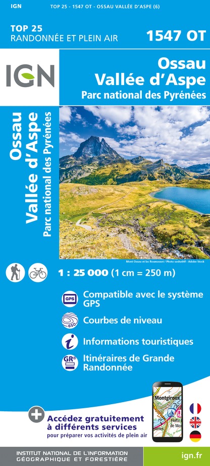
1547OT - OSSAU VALLÉE D'ASPE PN DES PYRÉNÉES
Editor : IGN
Collection : TOP 25 ET SÉRIE BLEUE
Scale : 1:25 000
13.90€

1546OT - OLORON-SAINTE-MARIE
Editor : IGN
Collection : TOP 25 ET SÉRIE BLEUE
Scale : 1:25 000
13.90€

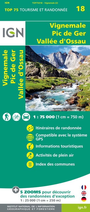
TOP75018 - VIGNEMALE PIC DE GER VALLEE D'OSSAU
Editor : IGN
Collection : TOP 75
Scale : 1:75 000
9.80€

TOP100D64 - PYRÉNÉES-ATLANTIQUES PAU BAYONNE BIARRITZ PAYS BASQUE BÉARN
Editor : IGN
Collection : TOP 100
Scale : 1:100 000
8.40€

89030 - TRAVERSEE DES PYRENEES GR10®
Editor : IGN
Collection : DECOUVERTE DES CHEMINS
Scale : 1:100 000
9.10€

D64 PYRÉNÉES-ATLANTIQUES
Editor : IGN
Collection : CARTES DÉPARTEMENTALES IGN
Scale : 1:150 000
5.90€

NR11 NOUVELLE-AQUITAINE RECTO/VERSO BASSIN AQUITAIN
Editor : IGN
Collection : CARTES RÉGIONALES IGN
Scale : 1:250 000
6.80€

NR10 NOUVELLE-AQUITAINE RECTO /VERSO LIMOUSIN POITOU
Editor : IGN
Collection : CARTES RÉGIONALES IGN
Scale : 1:250 000
6.80€

EUROPE
Editor : IGN
Collection : DÉCOUVERTE DES PAYS DU MONDE IGN
Scale : 1:2 500 000
7.00€
Description
It all depends on the point of view! Here's one of Lescun cirque that can safely be described as exceptional. All the summits are here, Pic d'Anie, Billare, Table des trois Rois. It's worth mentioning that it may not be particularly difficult but some sections at the end are very steep.
Technical Information
Walking
Difficulty
Medium
Duration
4h
Dist.
6.3 km
Type of practice
Walking
Medium
4h
Show more
Altimetric profile
Starting point
Bourg de Cette
,
64490
CETTE-EYGUN
Lat : 42.9380278Lng : -0.5848734
Additional information
Balisage
Yellow
Trait
Typologie de l'itinéraire
Return
Equipements
Water point
Picnic area
Picnic area
Thèmes
Natural
Data author

proposed by
Communauté de Communes du Haut-Béarn
12 place Jaca 64400 Oloron-Sainte-Marie Cedex France
Ratings and reviews
To see around


