Alert
Alerts
HIGHLIGHTS OF THE BATTLE OF VERDUN

IGN cards



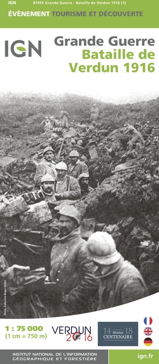
Description
In 1920 the Government decided to create a Red Zone at Verdun, to mark the soil rendered sterile by shell fragments and polluting chemicals. Ten years later, it received its first covering of some 10 million black pines, sent from Austria.
The nine destroyed villages included in this Red Zone will never again see the light of day, but the Prefect of the Meuse assures they will be maintained as memorials, by continuing to nominate a mayor to each one.
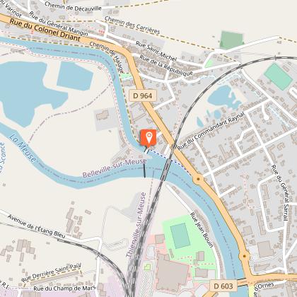
Starting from the Tourism Office, join the Green Way Cycle Path in the Parc Japiot opposite.
4.5 miles. Continue straight on, as far as the Canal Lock at BRAS-SUR-MEUSE.
Cross the bridge to reach the opposite bank and follow the canal as far as the next bridge.
Leave the Cycle Path, join the road and turn left, to reach the Stop sign opposite the Boulangerie.
Turn right onto the main road, then left opposite the restaurant
8.2 miles. Follow the main road and climb up to the Tranchée des Baïonnettes.
8.75 miles. Continue to climb, then after passing the restaurant, turn right and arrive at the Ossuaire de Douaumont. If you climb on foot the 204 steps inside the tower, you will have a 360 degree panoramic view of the entire battlefield
9.25 miles. Retrace your route to the Stop sign. To visit the disappeared village of Douaumont, go left and then immediately right and take the dead-end road to the disappeared village of Douaumont, then return to the main road. Alternatively, to go direct to the Fort de Douaumont, at the Stop sign turn right and descend to the next turning. At the Monument to the Unknown Soldier, turn left, towards the Fort de Douaumont.
9.7 miles. On the road to the Fort de Douaumont, you will cross over the Boyau de Londres.
10 miles. On reaching the Fort de Douaumont, dismount and climb on foot onto the roof of the Fort, where you will have a panorama view of the horizon which in 1916 marked the German frontier.
You can also take the path on the left between the shell craters, which in 300 yards leads you to the lookout point.
10.3 miles. Return back to the Monument to the Unknown Soldier and turn left. On your left you will pass Abri (Shelter) 320 and on your right the National Cemetery.
11.8 miles. At the crossroads, turn left and pedal as far as the disappeared village of Fleury-devant-Douaumont.
12.2 miles. Continue straight on and pass the Mémorial de Verdun, dedicated to the Great War 1914-1918.
12.4 miles. Carry on to the Souville Lion, the monument which marks the nearest point to Verdun reached by the Germans in 1916, and where they were finally stopped.
12.75 miles. At the crossroads turn right and descend towards Verdun. You can visit the Souville fortified plateau by taking the small path on the left. There you can visit the unique Bussière twin turret, the Pamart machine gun casemates, and the ammunition shelters.
12.9 miles. On the road descending to Verdun, stop to admire the Maginot Monument on the left. A little further along there is a picnic area in the forest where you can rest.
15.3 miles. After crossing the railway bridge, at the Stop sign, cross over and pass by the Faubourg Cemetery. At the next Stop sign turn right, then immediately left, and pass the Braquier Dragée factory.
At the roundabout, turn right and pass the Parc de Londres. Then at the next roundabout, turn left towards the Tourism Office.
Technical Information
Altimetric profile
Starting point
Points of interest
Data author


