Alert
Alerts
Dolmens walking tour


IGN cards


Description
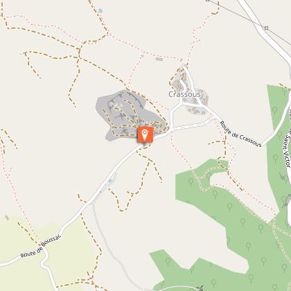
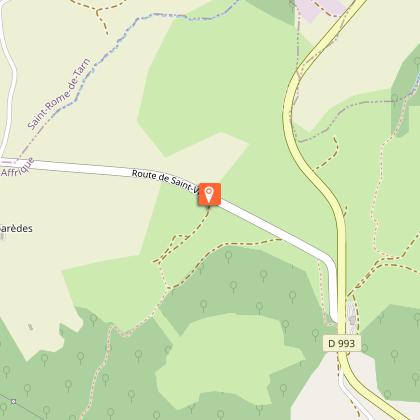
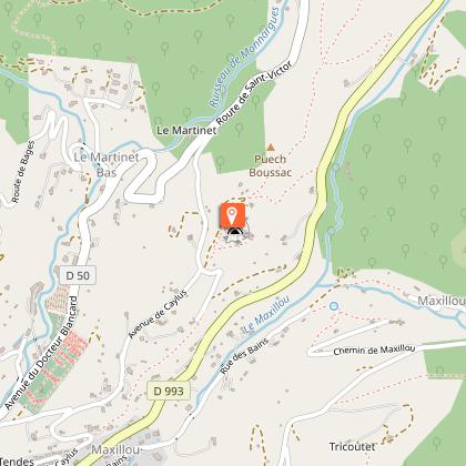
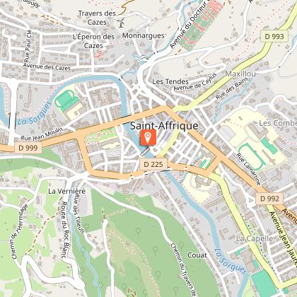
This loop circuit which is one of the longest hiking route in Southern Aveyron runs across the Saint-Affrique frontal Causse and leads you from dolmen to dolmen allowing you to explore some remains of human settlements dating back to the Neolithic period.From the carpark, walk along the Pont-Neuf which spans the river Sorgues. Just after the bridge turn left at a hairpin bend to join the right bank of the Sorgues. Turn right to walk up an ascending trail "la Carrierasse" that leads to a narrower path rising up the mountain side called "travers des Cazes". Join the tarred road.After the Escarbassols, leave the road and turn right, then left on a dirt road. Make your way through the undergrowth following a northwest direction. Walk down towards the Riviéral ravine and continue on by climbing over a fence where you will find a wide trail with a hairpin bend. Keep going uphill towards the plateau along a hedge bordering a steep field. Join a service road and reach a junction. Turn to your right to reach the chapel.Retrace your way back to the road that leads to Boussac. Turn to the right, then first left and follow a dirt road for 1.5 km.Join the road which leads to Boussac. When you get to the intersection with the Nougayrolles road take the path opposite lined with box trees which leads to the fourth dolmen, the walk there and back takes less than fifteen minutes. Retrace your steps and take the road back towards Crassous. Just a little before the quarry, notice a well preserved dolmen to your right.At the entrance of the hamlet, leave the road and follow a stony trail to the left that runs between some houses. Wind your way down a twisting path and join the D 50 then the D 250 roads. Keep walking on this road for 250m and walk to the left through a “Buissière” which runs parallel to the road. Take a Causse pathway that first connects to the road, then leads to the Baldassé cross. Carry on this path Eastward up to the Tiergues dolmen.Follow the trail to the southwest running between meadows and thickets to meet a “buissière”. Carry on along this trail, then on a descending path through the Gardies ravine. Join the trail that connects Saint-Affrique to Tiergues.Walk to the right along the Nougayrolles ravine. Pass a sheepfold, then head straight on up to a junction with the path coming from ridges.Walk down towards the rocher de Caylus, pass around a rocky outcrop that leads to the road. Find a track to the left, then a narrow path overlooking the D 993. Join the road and retrace your way back to the town centre.Take care when fording the brook and climbing over the fence.
Technical Information
Altimetric profile
Starting point
Steps
Points of interest
Additional information
Public transport
Travel by bus or train: lio.laregion.fr/carpooling : BlaBlaCar, Rézo Pouce, Mobicoop, Idvroom, LaRoueVerte, Roulez malin
Advice
Box tree moths are active from May to October. During the caterpillar phase, they feed on the leaves of box trees. They crawl down trees and move on long silken threads, although these threads are annoying when hiking they do not pose any health risk
Advised parking
Foch square or Leclerc square
Access
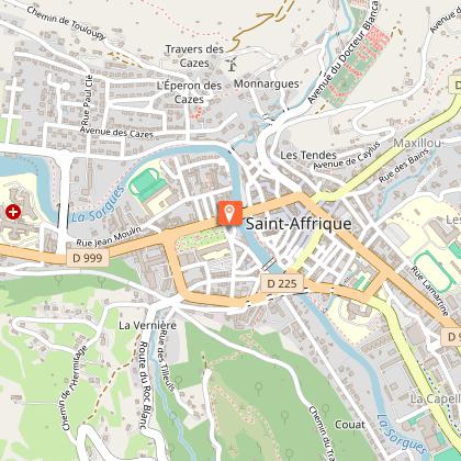
Saint-Affrique is situated on the RD 999 road axis which links Millau to Albi.
Arrival
Foch square
Ambiance
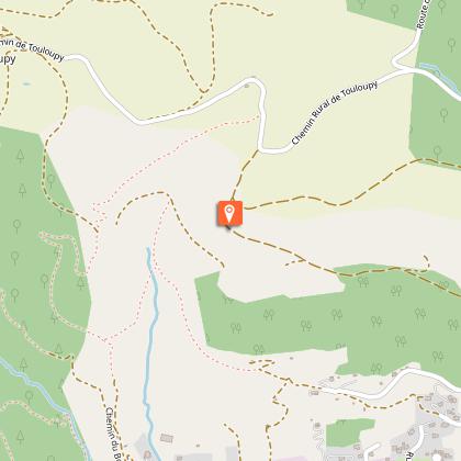
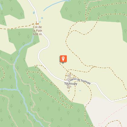
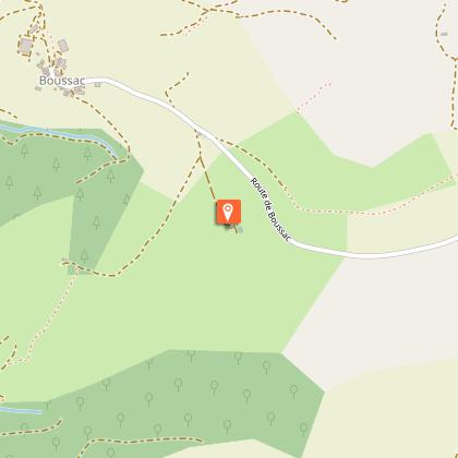
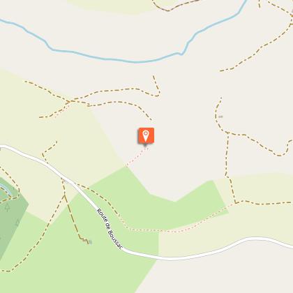
Once across the Sorgues river in Saint-Affrique, go hiking in the footsteps of our ancestors and crisscross a land which has a high concentration of megaliths. Six dolmens, Neolithic sepulchral chambers mark this journey into the past: dolmens of Touloupy, Boussac East, Boussac West, Crassous Puech, Ibilié, and finally the most majestic: the listed dolmen of Tiergues.
Departure
Foch square
Data author

