Alert
Alerts
Cycling Itinerary - Tour of the Popes Enclave by bike


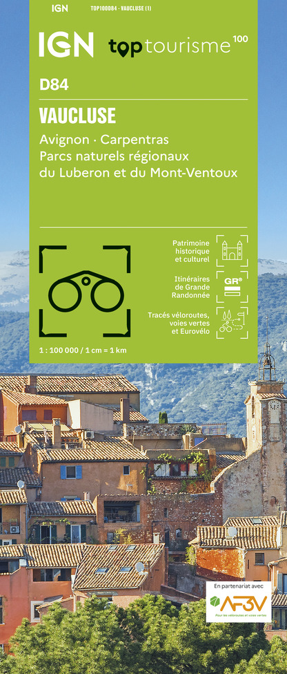
IGN cards


Description
If you love contrasting landscapes, you're in for a treat! Along the way, you'll pass through holm oak woods, vineyards and lavender fields. 36 km. Caution: altitude difference. Not recommended for small children.
Departure from the Tourist Office – Valréas
Turn left and left again to the 2 next following roundabouts. At the end of the
avenue, at the roundabout with a little olive tree, follow the roadsign for
Vinsobres, then at the end take the D46 towards Vinsobres. The road goes
steeply uphill with hairpin bends for 4 km winding through vineyards, truffle oaks
and fruit orchards. At the Sainte Croix crossroads, in the bend, turn right
towards Visan (Beautiful cross to be seen). The minor road follows the crest of
the hill for 5,3 km and all the way along there are lovely views, on the left of the
plateau de Vinsobres and the Baronnies hills, the Mont Ventoux and the
Dentelles de Montmirail (occasionally on the right you can catch a glimpse of
Valréas in the distance through the trees).
1. After a steep downhill section crossing the D191 at les Françons, turn left
towards the quartier Poulidon. At the bridge, turn right towards Visan and go on
the steep uphill for 1,7 km. You will come to a crossroads where you must turn
right towards Visan. Have a look at the wonderful field of olive trees on the left
side. The long downhill run to Visan (3,5 km) goes past vineyards, Austrian
pines and truffle oaks.
2. In Visan, at the crossroads with the pharmacy facing you, turn right as far as
the roundabout and then turn left into D20 towards Richerenches (7km). You
can see on your right, the “montagne de la Lance”, as the backdrop of the
route. Go through the village of Richerenches.
3. and as you leave the village take a left turn towards Montségur sur Lauzon.
The road is surrounded by fields of lavender and aromatic herbs. Just before
the bridge over the stream, the Aulière, turn right towards Grillon.
4. Keep going straight along the road (no turnings) up to the junction with the
D20 from Richerenches.
5. Turn left, then in a big bend, turn left towards Grillon. You arrive in Grillon. In
the “Place de la Bourgade”, take the road for Valréas and leave the village. At
the last bend to the left, just past the guesthouse “Au vieux chêne”, don’t take
the main road round the bend but continue straight on along the old road (so
that you can avoid the main road which has lots of traffic). But still watch out for
traffic on the old road.
6. At the “Stop” sign, go straight on to get back to Valréas. When you get to
the town, follow the cours de Gaulle which goes up to your right and follow the
tourist Office signs.
Technical Information
Altimetric profile
Starting point
Additional information
Updated by
Office de Tourisme Communautaire Pays de Grignan et Enclave des Papes - 10/04/2025
www.dromeprovencale.fr/grignan-valreas/
Report a problem
Open period
Throughout the year : open daily.
Contact
Phone : 04 90 35 04 71
Email : info@grignanvalreas-tourisme.com
Website : www.dromeprovencale.fr/grignan-valreas/
Facebook : www.facebook.com/ot.paysdegrignanenclavedespapes/


