Alert
Alerts
Type of practice
Walking
Very easy
2h30mn
Presentation
Description
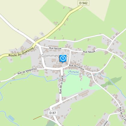
Map
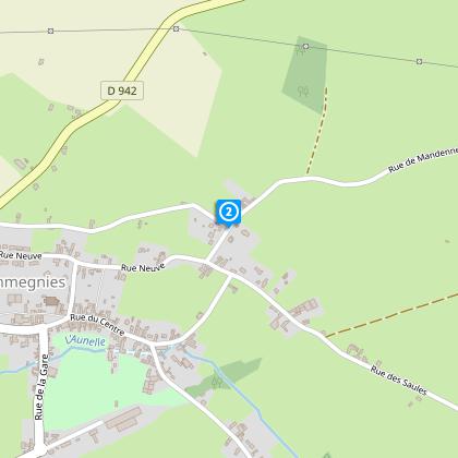
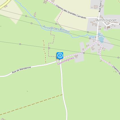
Steps
Cirkwi brief's
Ratings and reviews
See around
The Unicorn's Path


Credit : Nord Tourisme
The Cirkwi brief
Discover Enchanting Avesnois: A Walk Through Gommegnies's Countryside
Embarking on "The Path of the Unicorn" is like stepping into a storybook, where the serene landscapes of the Avesnois region unfold before your eyes. Crafted by Nord Tourisme, this route wanders through charming hamlets, unveiling the pastoral life and agriculture rooted in this area. Every step offers panoramic views of the lush, hilly countryside, inviting walkers to experience the seasonal beauty, be it the autumnal hues or the spring’s floral splendor. This country walk promises a tranquil escape, blending the rich rural essence with the magic of changing seasons.
A In-Depth Analytical Route Overview
Spanning precisely 9.622 kilometers, "The Path of the Unicorn" presents a moderate excursion with an elevation range from 115 to 146 meters. This journey features a total positive altitude change of 87 meters, balancing ascent and descent throughout. The carefully plotted course ensures walkers engage with varied terrain. These technical aspects signify an itinerary accessible to most, demanding moderate physical effort, and offering an encompassing experience of the region's topography.
Seasonal Tips for the Unicorn Path
For an optimal journey, time your visit according to the season. Spring delights with vibrant wildflowers, autumn reveals a tapestry of colors, while summer offers lush, green panoramas. Regardless of the season, wear suitable footwear for country paths, carry water, and check weather forecasts. Winter visitors must be prepared for potentially muddy trails and shorter days. Respect local wildlife and agriculture, sticking to the marked path to preserve the natural beauty and ensure your safety during this immersive countryside experience.
A Glimpse into Gommegnies's Heritage
Gommegnies, nestled in the heart of Avesnois, is a testament to the historical richness of Nord-Pas-de-Calais. This region, with its rolling hills and verdant landscapes, has been a crossroads of cultures and a witness to numerous historical events. The province's traditional hamlets and agricultural practices offer insights into a lifestyle that has sustained and shaped the community for centuries. Exploring this route not only immerses one in nature but also connects walkers with the deep-rooted cultural heritage that defines this picturesque part of France.
Understanding Avesnois's Weather Patterns
Avesnois’s climate is predominantly oceanic, marked by moderate temperatures and frequent rainfall throughout the year. For those planning "The Path of the Unicorn" walk, the best periods are late spring to early summer or early autumn, when the weather is milder, and the risk of heavy rain is lower. These windows offer the landscape at its most vibrant and accessible. Always prepare for possible quick changes in weather by carrying rain gear and checking forecasts before setting out, ensuring a comfortable and enjoyable experience in this beautiful region of Gommegnies.
Automatically generated.
IGN cards

2706OT - FORÊT DE MORMAL
Editor : IGN
Collection : TOP 25 ET SÉRIE BLEUE
Scale : 1:25 000
13.90€
102 LILLE MAUBEUGE PNR SCARPE ESCAUT PNR DE L'AVESNOIS
Editor : IGN
Collection : TOP 100
Scale : 1:100 000
8.40€

D59-62 NORD PAS-DE-CALAIS
Editor : IGN
Collection : CARTES DÉPARTEMENTALES IGN
Scale : 1:150 000
5.90€

NR05 GRAND EST RECTO/VERSO MASSIF DES VOSGES ALSACE LORRAINE
Editor : IGN
Collection : CARTES RÉGIONALES IGN
Scale : 1:250 000
6.80€

NR04 - GRAND EST RECTO/VERSO ARDENNE CHAMPAGNE
Editor : IGN
Collection : CARTES RÉGIONALES IGN
Scale : 1:250 000
6.80€

NR01 HAUTS-DE-FRANCE
Editor : IGN
Collection : CARTES RÉGIONALES IGN
Scale : 1:250 000
6.80€

EUROPE
Editor : IGN
Collection : DÉCOUVERTE DES PAYS DU MONDE IGN
Scale : 1:2 500 000
7.00€

PAYS-BAS BELGIQUE LUXEMBOURG
Editor : IGN
Collection : DÉCOUVERTE DES PAYS DU MONDE IGN
Scale : 1:300 000
7.00€
Technical Information
Walking
Difficulty
Very easy
Duration
2h30mn
Dist.
9.6 km
Type of practice
Walking
Very easy
2h30mn
Show more
Altimetric profile
Starting point
610
Place de l'église
,
59144
GOMMEGNIES
Lat : 50.2660176326Lng : 3.70508966022
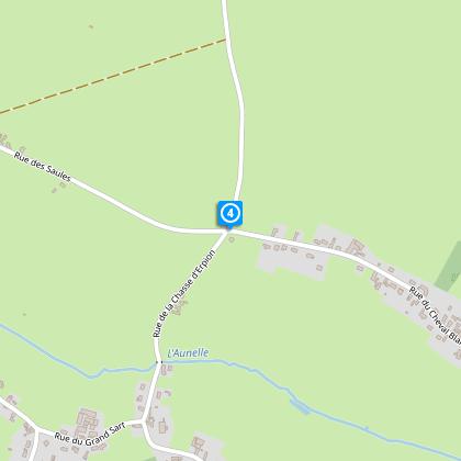
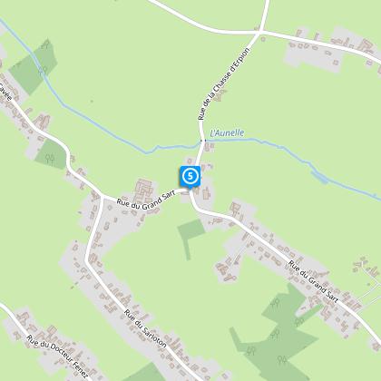
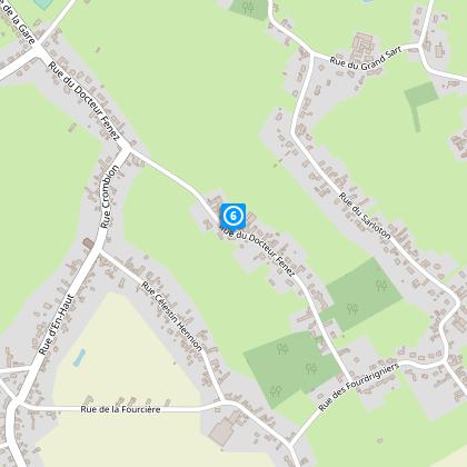
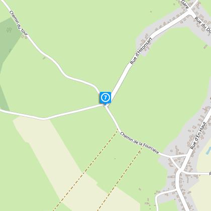
Steps
Data author

Ratings and reviews
To see around