


Tours
Activities
Places of interest
Where to eat
Where to sleep
Discover Sauvat, Cantal, Auvergne's hidden gems
Are you in charge of the destination?Welcome to Sauvat, a charming town nestled in the heart of Cantal, Auvergne. This picturesque locale boasts breathtaking scenery, offering a myriad of activities for nature lovers and culture enthusiasts alike.
Embark on a journey through the wonderful hiking trails that weave around Sauvat. The region is famed for its rolling, verdant landscapes, which hide natural treasures such as waterfalls a...See more
Embark on a journey through the wonderful hiking trails that weave around Sauvat. The region is famed for its rolling, verdant landscapes, which hide natural treasures such as waterfalls a...See more


What to do in Sauvat
See more suggestionsBook your activities in Sauvat now and get ready for adventure.
See more suggestions


IGN cards
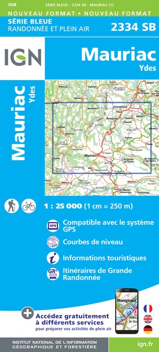
2334SB - MAURIAC YDES
Editor : IGN
Collection : TOP 25 ET SÉRIE BLEUE
Scale : 1:25 000
13.90€
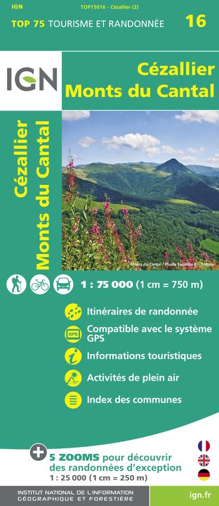
TOP75016 - CEZALLIER MONTS DU CANTAL
Editor : IGN
Collection : TOP 75
Scale : 1:75 000
9.80€

155 AURILLAC SAINT-FLOUR PNR DES VOLCANS D'AUVERGNE
Editor : IGN
Collection : TOP 100
Scale : 1:100 000
8.40€

148 CLERMONT FERRAND SALERS PNR DES VOLCANS D'AUVERGNE
Editor : IGN
Collection : TOP 100
Scale : 1:100 000
8.40€

D23-87 CREUSE HAUTE-VIENNE
Editor : IGN
Collection : CARTES DÉPARTEMENTALES IGN
Scale : 1:150 000
5.90€

D03-63 ALLIER PUY-DE-DÔME
Editor : IGN
Collection : CARTES DÉPARTEMENTALES IGN
Scale : 1:150 000
5.90€

D15-19 CANTAL CORREZE
Editor : IGN
Collection : CARTES DÉPARTEMENTALES IGN
Scale : 1:150 000
5.90€

EUROPE
Editor : IGN
Collection : DÉCOUVERTE DES PAYS DU MONDE IGN
Scale : 1:2 500 000
7.00€


Where to sleep in Sauvat
See more suggestionsEnjoy our accommodation recommendations in Sauvat.
See more suggestions


