Tours
Activities
Places of interest
Where to eat
Where to sleep

Discover Saint-martin-d'entraunes in alpes-maritimes

Are you in charge of the destination?
Nestled within the spectacular region of Alpes-Maritimes, Saint-martin-d'entraunes invites you to explore and be awed. This charming commune captures the heart with its well-preserved landscapes and majestic mountains. Outdoor enthusiasts will revel in the numerous hiking trails nearby, particularly those leading to the Mercantour National Park, a true paradise for nature lovers. During summer, en...See more

Walking around Saint-martin-d'entraunes

See more suggestions
Explore the walking circuits of Saint-martin-d'entraunes.
See more suggestions
Le Lançonnet - La Sagne
8.7 km

Le Lançonnet - La Sagne

A loop with varied landscapes, passing through different biotopes (rhododendron moorland) and a beautiful serpentine. Access info: Le Pont de la Serre can be reached from Colmars-Les-Alpes via a bumpy 8 km forest track (30 min. drive). Bring a vehicle with sufficient ground clearance. Motorhome access impossible. This trail is open from June to October. Closed by a barrier in winter. From the Pont de la Serre (1,633 m), follow the path up the slope towards the Lançonnet pastoral hut and quickly reach a crossroads. At the marker indicating Le Bois Noir (1,660 m), turn left. The path winds its way up through the forest. At the next intersection, continue in the same direction: the path crosses a sandstone slab and offers a view of the Lance valley. Higher up, the slope becomes gentler and the path crosses a former logging area where cembro pines have settled in, along with blueberries and iron rhododendrons. Exit onto the Lançonnet plateau and reach the hut. Turn right in front of the hut and wind your way up to the ridge separating the Lançonnet and Sagne valleys. Cross the ridge and descend to the cabane de la Sagne (follow the cairns). Pass the hut and follow the path down into the alpine pasture. It then crosses under rocky bars and into the forest. Reach the Crouès crossroads. Descend to the right and reach another fork in a clearing. You'll come to the Pluhautière sign (1,960 m), and follow an old forest trail to the right. It leads to a clearing overgrown with raspberry bushes. At its end, a path twists and turns downhill towards La Lance and the parking lot.

4 h
6.6 km
Medium
Parking du pont de la Serre 04370 Colmars
Show
Les Lacs de Lignin
8.7 km

Les Lacs de Lignin

A change of scenery between vast high-altitude lawns and rushing waters! From Colmars, follow the forest track to Pont de la Serre (with an adapted vehicle) for about 45 minutes. Follow on foot the superb basins of La Lance. Access info: Le Pont de la Serre can be reached from Colmars-Les-Alpes via a bumpy 8 km forest track (30 min. drive). Bring a vehicle with sufficient ground clearance. Motorhome access impossible. This trail is open from June to October. Closed by a barrier in winter. From the Pont de la Serre parking lot at an altitude of 1633m, continue past the barrier on the track as far as a crossroads (yellow marks). Take the right-hand path alongside the torrent de la Lance. Passing several waterfalls, the path becomes a little steeper, passing over long rocky bars below the tête de Mouriès. You then reach the eponymous hut. Follow the yellow markings, which become less visible as you pass through the grazing area in front of the hut. Cross the ravine and continue under the sommet de la Mole on your right, then cross the plateau cut by the ravin de la Mole. You then pass under the summit of Carton. The path then turns east, and you can admire the magnificent summit of Grand Coyer. Progress is then made through a peat bog zone. You'll soon discover the largest of Lignin's lakes, with its green waters and small pastoral hut. An optional climb to the cross of the Col de Lignin to the southeast gives you a view of the magnificent summit of Saint-Honorat and the Pointe de Sangaris. Then rejoin the cairned path at the end of the lake to begin your descent, which is different from the ascent. The route begins on the plateau, then gradually steepens as you descend. Reach the bottom of the valley, then join the torrent de la Lance. Cross the magnificent Bresssenge ravine, and above the path admire the little huts bearing the same name. Rejoin the Juges hut, and take the footbridge behind the hut to reach the ONF Fruchière hut. Return to the starting parking lot.

6 h
17 km
Hard
Parking du Pont de la Serre 04370 Colmars
Show

What to do in Saint-martin-d'entraunes

See more suggestions
Plan your leisure time in Saint-martin-d'entraunes by booking activities that suit your preferences.
See more suggestions

IGN cards

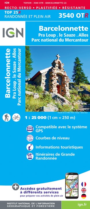
3540OTR - BARCELONNETTE RESISTANTE PRA LOUP LE SAUZ ALLOS PARC NATIONAL DU MERCANTOUR
Editor : IGN
Collection : TOP 25 RÉSISTANTE
Scale : 1:25 000
17.20€
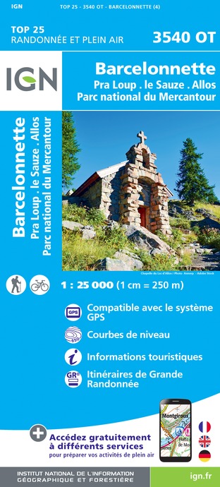
3540OT - BARCELONNETTE PRA-LOUP LE SAUZE ALLOS PARC NATIONAL DU MERCANTOUR
Editor : IGN
Collection : TOP 25 ET SÉRIE BLEUE
Scale : 1:25 000
13.90€

3540ET - HAUTE VALLÉE DU VAR GORGES DE DALUIS PARC NATIONAL DU MERCANTOUR
Editor : IGN
Collection : TOP 25 ET SÉRIE BLEUE
Scale : 1:25 000
13.90€
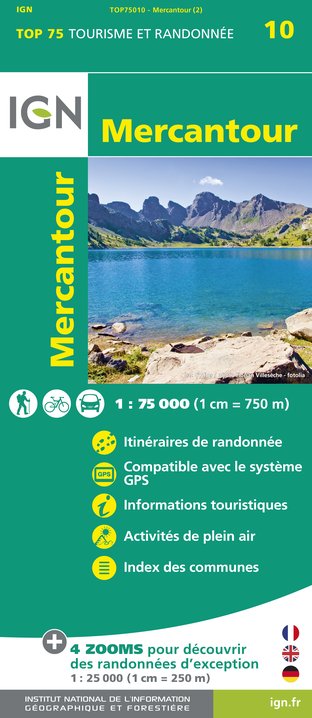
TOP75010 - MERCANTOUR
Editor : IGN
Collection : TOP 75
Scale : 1:75 000
9.80€
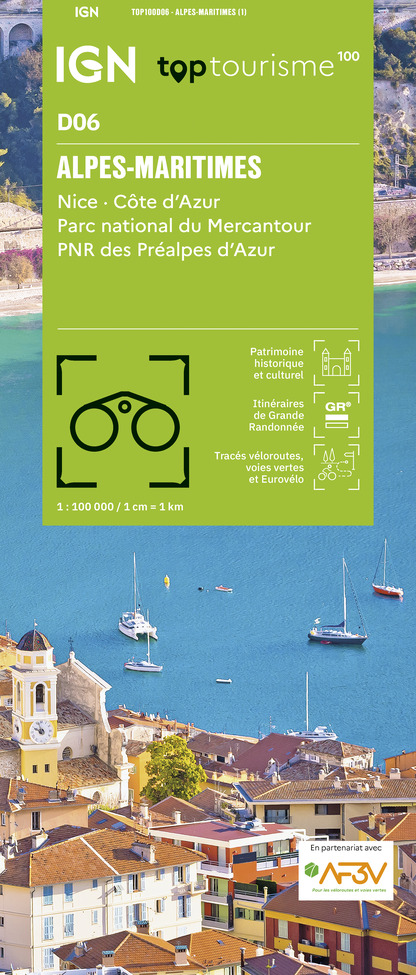
TOP100D06 - ALPES-MARITIMES NICE CÔTE D'AZUR PARC NATIONAL DU MERCANTOUR PNR DES PRÉALPES D'AZUR
Editor : IGN
Collection : TOP 100
Scale : 1:100 000
8.40€
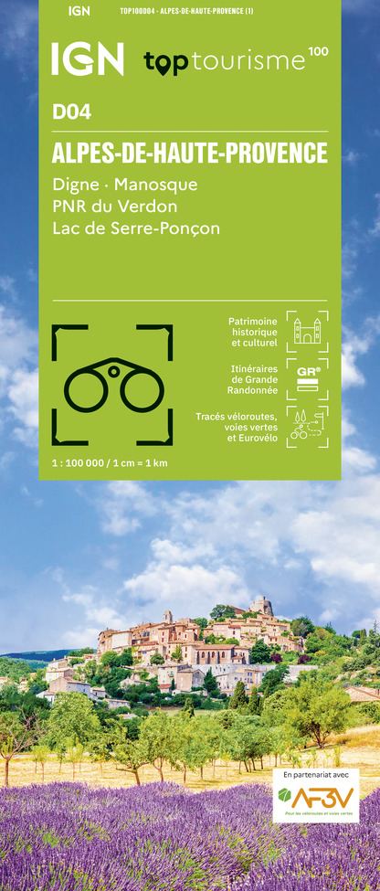
TOP100D04 - ALPES-DE-HAUTE-PROVENCE DIGNE MANOSQUE PNR DU VERDON LAC DE SERRE-PONÇON
Editor : IGN
Collection : TOP 100
Scale : 1:100 000
8.40€
D04-05 ALPES-DE-HAUTE-PROVENCE HAUTES-ALPES
Editor : IGN
Collection : CARTES DÉPARTEMENTALES IGN
Scale : 1:150 000
5.90€
D83 VAR
Editor : IGN
Collection : CARTES DÉPARTEMENTALES IGN
Scale : 1:150 000
5.90€
D06 ALPES-MARITIMES
Editor : IGN
Collection : CARTES DÉPARTEMENTALES IGN
Scale : 1:150 000
5.90€
NR16 PROVENCE-ALPES-CÔTE D'AZUR
Editor : IGN
Collection : CARTES RÉGIONALES IGN
Scale : 1:250 000
6.80€
NR15 AUVERGNE-RHÔNE-ALPES RECTO/VERSO MASSIF ALPIN
Editor : IGN
Collection : CARTES RÉGIONALES IGN
Scale : 1:250 000
6.80€
NR14 AUVERGNE-RHÔNE-ALPES RECTO/VERSO MASSIF CENTRAL
Editor : IGN
Collection : CARTES RÉGIONALES IGN
Scale : 1:250 000
6.80€
EUROPE
Editor : IGN
Collection : DÉCOUVERTE DES PAYS DU MONDE IGN
Scale : 1:2 500 000
7.00€

What to visit in Saint-martin-d'entraunes

See more suggestions
Savor the local cuisine of Saint-martin-d'entraunes.
See more suggestions

Where to eat in Saint-martin-d'entraunes

See more suggestions
Discover the culinary diversity of Saint-martin-d'entraunes.
See more suggestions

Where to sleep in Saint-martin-d'entraunes

See more suggestions
Find the perfect lodging for your visit to Saint-martin-d'entraunes.
See more suggestions
Caution!
We have no information on the difficulty of this circuit. You may encounter some surprises along the way. Before you go, please feel free to inquire more and take all necessary precautions. Have a good trip! 🌳🥾