Alert
Alerts
Rivière souterraine de Saint Christophe Sur Roc


Description
Underground river circuit 4.3 km long, accessible via the Chiloup well at La Chapelle Bâton with abseiling and exit at Lavoir de la Roche in ST-CHRISTOPHE-SUR-ROC. It was discovered in 1975. This river is located in a triangle: ST-CHRISTOPHE-SUR-ROC/LA CHAPELLE BATON/SAINT PROJET and is fed on the one hand by rainwater infiltrating the limestone layers and on the other hand by runoff water flowing into the chasms. In summer, most of these chasms look like dry sinkholes. In winter, however, their extensive sealing often transforms them into ponds or bodies of water
Comfortable sportswear with (old) boots or sneakers + a change of full gear.
Please contact the Departmental Committee of Speleology for access authorizations.
Technical Information
Altimetric profile
Additional information
Contact
Cellular telephone : +33 6 87 15 21 07
Président du CDS 79
e-mail : presidence@cds79-speleo.fr
Web site (URL) : www.cds79-speleo.fr/
Typologie d'activités et de loisirs
Sports activities
Langues parlées
French
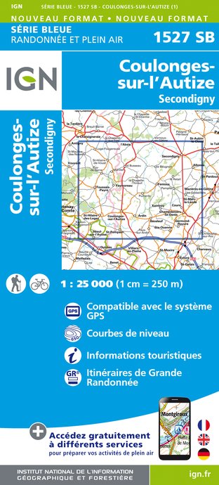
IGN cards


Data author
