Alert
Alerts
Old Bridge

Description
The first mention of this bridge in the archives dates back to 1033.
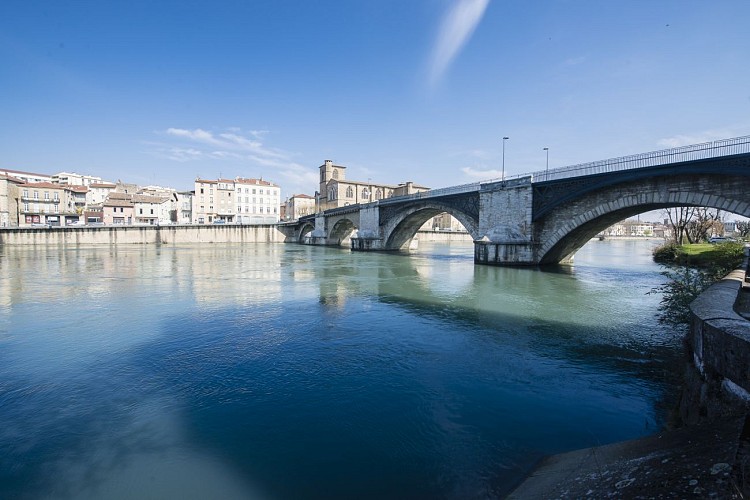
As you walk along the quays of the Isère, built in 1860, the Pont Vieux (Old Bridge) comes into view.
This bridge enabled the Canons of Saint-Barnard to establish tolls on people, animals and merchandise, which became an important source of revenue.
It was not long before the first hamlet on the south bank of the bridge was appropriately named "Le Bourg du Péage", later to become BOURG DE PEAGE.
A fortified gate defending the bridge was built in 1393...and demolished in the early 19th century.
This fortified gate appears on the town's coat of arms.
Before the river's course was regulated by dams, the bridge was repeatedly damaged by the Isère's violent floods.
Repeatedly washed away and rebuilt over the centuries, the Pont Vieux was caught up in the turmoil of the Second World War and partly destroyed, first in June 1940 and then again in August 1944!
Technical Information
Altimetric profile
Additional information
Contact
Phone : 04 75 02 28 72
Updated by
Valence Romans Tourisme - 30/01/2024
www.valence-romans-tourisme.com/fr/
Report a problem
Price(s)
Free access.
IGN cards


