Alert
Alerts
Refuge de Plan du Lac


Description
This refuge of the Vanoise National Park is a stage of the GR5 and Via Alpina. It faces an exceptional panorama. In the immediate vicinity of the refuge are tools of discovery on the heritage of Vanoise (fauna, flora and landscape).
Technical Information
Altimetric profile
Date and time
- From 15/09/2024 to 19/03/2025
- From 20/03/2025 to 27/04/2025
- From 28/04/2025 to 31/05/2025
- From 01/06/2025 to 01/10/2025
- From 02/10/2025 to 31/12/2025
Additional information
Updated by
Parc National de la Vanoise - 11/12/2024
vanoise-parcnational.fr/fr
Report a problem
Price(s)
From 15/09/2024 to 19/03/2025 Night: 5 to 12 €. From 20/03 to 27/04/2025 Night: 12 to 24 € Half board (pp): 25 to 64 €. From 28/04 to 31/05/2025 Night: 5 to 12 €. From 01/06 to 01/10/2025 Night: 12 to 22 € Half board (pp): 25 to 57 €. From 02/10 to 31/12/2025 Night: 5 to 12 €. Group rate available for > 2 people.
Ranking and capacity
Refuge
Capacity : 42 people
Open period
From 15/09/2024 to 19/03/2025, daily. From 20/03 to 27/04/2025, daily. From 28/04 to 31/05/2025, daily. From 01/06 to 01/10/2025, daily. From 02/10 to 31/12/2025, daily.
Contact
Phone :
04 79 20 50 85
06 49 57 41 09
Email : refuge.plandulac@vanoise-parcnational.fr
Website : refuge-plandulac.vanoise.com/
Location complements
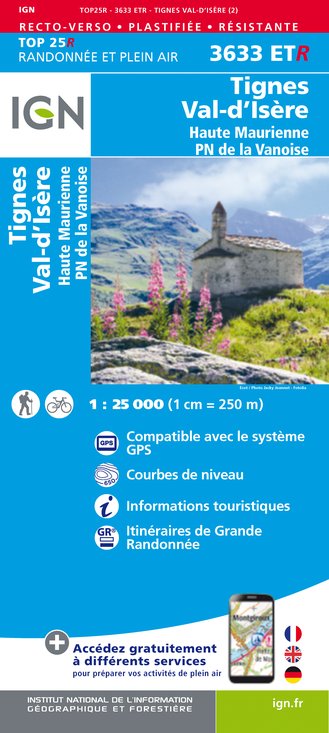
Nearest village: Termignon-la-Vanoise. Car access not permitted - Frequent shuttle service available in July and August. Coach parking at Bellecombe, then 30-minute walk. Access by footpath accessible to all, even children: 1/2-hour walk from Bellecombe parking lot. Access by car possible for severely disabled people, with prior authorization from the Park. Access possible by all-terrain wheelchair or joëlette (with accompaniment: 2.5 km, with around 300 m of the trail on a gradient of over 5%). Access possible on horseback, mountain bike (only one path authorized on the road to the La Femma refuge), or with a donkey. IGN maps: TOP 25 - 3633 ET Tignes Val d'Isère.
IGN cards


