Alert
Alerts


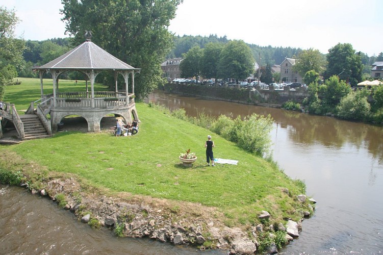
The island of l'Oneux
Description
Bordered by the Ourthe on one side and the Bief du Moulin (a backwater of the Ourthe), the island of l’Oneux consists of 6 hectares ringed by tall poplars, in the very centre of Hotton. The soil of the perfectly flat island is made up of sediments carried along by the river and then deposited, known to geologists as alluvium. The island provides a setting for much of the village’s recreational and cultural activities. Walk across the island in a south-easterly direction to the second footbridge, which crosses the Ourthe. After the footbridge, cross the road and carry straight on along a narrow path that leads to the municipal park. Take the path that leads up to the top of the park (elevation gain 30 metres).
Technical Information
Altimetric profile
IGN cards


Data author
