Alert
Alerts


Description
Map
Ratings and reviews
See around
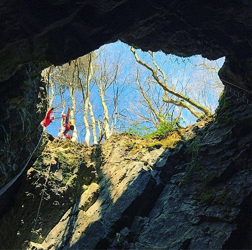
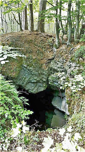
Trotti aux Fosses
Credit
: Geopark Famenne-Ardenne
Description
This is more or less the halfway point on the Fond des Vaulx route and here we find the most iconic karst phenomenon of all: the Trotti aux Fosses chasm, a vast collapse cavity (an underground space, the roof of which has gradually collapsed to the ground, Marche-en-Famenne Famenne-Ardenne unesco global Geopark 13 forming a huge well some 15 metres deep. The resulting limestone scree was gradually dissolved by the underground river beneath the Fond des Vaulx, accessible only to cavers.
Technical Information
Lat, Lng
50.22909575.3681624
Coordinates copied
Altitude
282 m
Uncertain state
Point of Interest updated on 18/02/2022
This point of interest hasn't been updated recently, which could compromise the reliability of this information. We recommend that you inquire and take all necessary precautions. If you're the author, please verify your information.
Altimetric profile
IGN cards


Data author

proposed by
UNESCO Global Geopark Famenne-Ardenne
2 Place Théo Lannoy 5580 Rochefort Belgique
Ratings and reviews
To see around