Alert
Alerts


Description
Map
Ratings and reviews
See around
The mountains of Auvergne


Credit
: G.Salat - CC HCC
Description
In the village of La Mongie, be sure to make a small detour to the bakery (carved window lintel) and the viewpoint offering a remarkable view of the highest volcano in mainland France, the Puy de Sancy. At 1885 metres above sea level, this summit is the highest point of the Massif Central. The two streams, the Dore and the Dogne, originate there and their confluence forms the Dordogne.
Technical Information
Lat, Lng
45.47512.08097
Coordinates copied
Altitude
679 m
Point of Interest updated on 14/04/2025
Altimetric profile
IGN cards
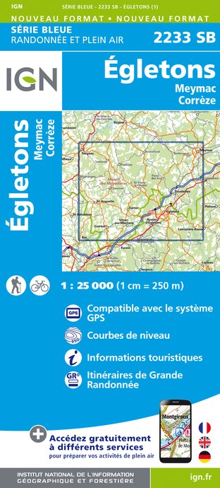
2233SB - ÉGLETONS MEYMAC CORRÈZE
Editor : IGN
Collection : TOP 25 ET SÉRIE BLEUE
Scale : 1:25 000
13.90€

147 LIMOGES GUÉRET PNR DE MILLEVACHES EN LIMOUSIN
Editor : IGN
Collection : TOP 100
Scale : 1:100 000
8.40€

D23-87 CREUSE HAUTE-VIENNE
Editor : IGN
Collection : CARTES DÉPARTEMENTALES IGN
Scale : 1:150 000
5.90€

D15-19 CANTAL CORREZE
Editor : IGN
Collection : CARTES DÉPARTEMENTALES IGN
Scale : 1:150 000
5.90€

EUROPE
Editor : IGN
Collection : DÉCOUVERTE DES PAYS DU MONDE IGN
Scale : 1:2 500 000
7.00€
Data author

Ratings and reviews
To see around