Alert
Alerts
Description
Map
Ratings and reviews
See around
Panoramic view of the farmland crisscrossed by hedges and trees

Credit
: J.Damase ( Creuse Tourisme)
Description
At the end of the 18th century, Arthur Young was already sensitive to the hedged farmland of the region: “Hills, valleys, woods, paddocks, streams, lakes and scattered farmsteads form a thousand delightful pictures.” As for the toponym “Vergne”, it can refer to river dikes made of stones and fascines (piles of branches) or, more simply, to very wet meadows.
Technical Information
Lat, Lng
45.95612.51219
Coordinates copied
Altitude
743 m
Point of Interest updated on 20/11/2025
Altimetric profile
IGN cards

2330SB - AUBUSSON AUZANCES
Editor : IGN
Collection : TOP 25 ET SÉRIE BLEUE
Scale : 1:25 000
13.90€

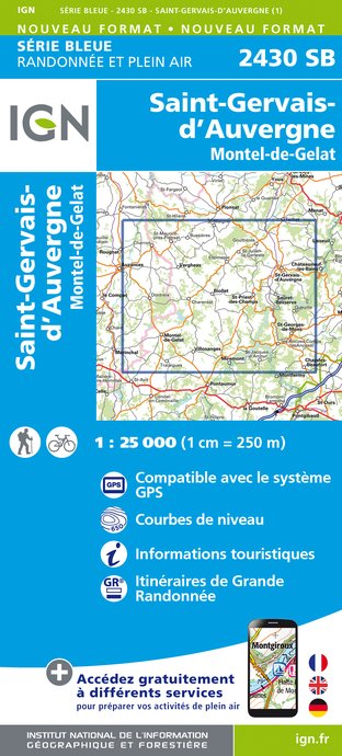
2430SB - SAINT-GERVAIS-D'AUVERGNE MONTEL-DE-GELAT
Editor : IGN
Collection : TOP 25 ET SÉRIE BLEUE
Scale : 1:25 000
13.90€

148 CLERMONT FERRAND SALERS PNR DES VOLCANS D'AUVERGNE
Editor : IGN
Collection : TOP 100
Scale : 1:100 000
8.40€

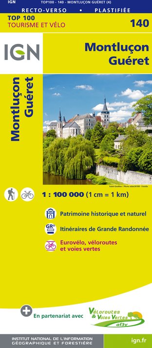
140 MONTLUÇON GUÉRET
Editor : IGN
Collection : TOP 100
Scale : 1:100 000
8.40€

D03-63 ALLIER PUY-DE-DÔME
Editor : IGN
Collection : CARTES DÉPARTEMENTALES IGN
Scale : 1:150 000
5.90€

D23-87 CREUSE HAUTE-VIENNE
Editor : IGN
Collection : CARTES DÉPARTEMENTALES IGN
Scale : 1:150 000
5.90€

EUROPE
Editor : IGN
Collection : DÉCOUVERTE DES PAYS DU MONDE IGN
Scale : 1:2 500 000
7.00€
Data author
Ratings and reviews
To see around
