Alert
Alerts
Description
Map
Ratings and reviews
See around
Evolution of the landscape

Credit
: Joel Damase / PSC
Description
It is difficult to imagine, in the middle of all this vegetation, that in the 19th century there was no forest. At that time, the demographic peak in the countryside led to the exploitation of the smallest parcel of land. Thus, the communal heath, where the villagers grazed their livestock in turn, stretched out in front of you as far as the eye could see. After the Second World War, the rural exodus that started at the beginning of the 20th century accelerated. The ensuing agricultural decline led to the gradual abandonment of the less fertile land and its natural afforestation.
Technical Information
Lat, Lng
45.99621.81628
Coordinates copied
Altitude
431 m
Point of Interest updated on 20/11/2025
Altimetric profile
IGN cards

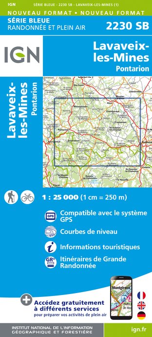
2230SB - LAVAVEIX-LES-MINES PONTARION
Editor : IGN
Collection : TOP 25 ET SÉRIE BLEUE
Scale : 1:25 000
13.90€

147 LIMOGES GUÉRET PNR DE MILLEVACHES EN LIMOUSIN
Editor : IGN
Collection : TOP 100
Scale : 1:100 000
8.40€

140 MONTLUÇON GUÉRET
Editor : IGN
Collection : TOP 100
Scale : 1:100 000
8.40€

D23-87 CREUSE HAUTE-VIENNE
Editor : IGN
Collection : CARTES DÉPARTEMENTALES IGN
Scale : 1:150 000
5.90€

EUROPE
Editor : IGN
Collection : DÉCOUVERTE DES PAYS DU MONDE IGN
Scale : 1:2 500 000
7.00€
Data author
Ratings and reviews
To see around
