Alert
Alerts
Description
Map
Ratings and reviews
See around
Water control

Credit
: ©J.DAMASE/PSC
Description
Water is a resource that farmers have always known how to value. Several testimonies are present on the site. Fisheries are rectangular water reservoirs delimited by stone walls and fed by canals. They were used to irrigate the meadows so that the grass would grow faster, in particular thanks to the levades (irrigation canals) which distributed the water.
Technical Information
Lat, Lng
45.88051.919
Coordinates copied
Altitude
663 m
Point of Interest updated on 20/11/2025
Altimetric profile
IGN cards

2231SB - ROYÈRE-DE-VASSIVIÈRE GENTIOUX-PIGEROLLES
Editor : IGN
Collection : TOP 25 ET SÉRIE BLEUE
Scale : 1:25 000
13.90€

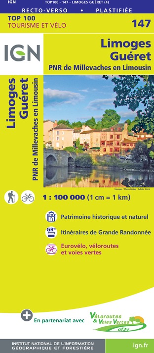
147 LIMOGES GUÉRET PNR DE MILLEVACHES EN LIMOUSIN
Editor : IGN
Collection : TOP 100
Scale : 1:100 000
8.40€

D23-87 CREUSE HAUTE-VIENNE
Editor : IGN
Collection : CARTES DÉPARTEMENTALES IGN
Scale : 1:150 000
5.90€

EUROPE
Editor : IGN
Collection : DÉCOUVERTE DES PAYS DU MONDE IGN
Scale : 1:2 500 000
7.00€
Data author
Ratings and reviews
To see around
