Alert
Alerts
Description
Map
Ratings and reviews
See around
Mont-Pourri

Credit
: PNV - BALAIS Christian
Description
On the ascent to your left, you will see the Mont-Pourri which culminates at 3,779 m, making it the second highest peak of Vanoise after the Grande Casse. It was scaled for the first time by Michel Croz in 1861. Today the route passes conventionally through the Geay glacier that can be seen under the summit. At the foot of its moraine, the former refuge, where mountaineers slept until the 1970s, has been converted into a museographic space dedicated to the history of this summit.
Technical Information
Lat, Lng
45.5162486.8110752
Coordinates copied
Point of Interest updated on 24/12/2025
Altimetric profile
IGN cards

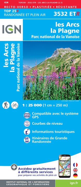
3532ETR - LES ARCS LA PLAGNE RESISTANTE PARC NATIONAL DE LA VANOISE
Editor : IGN
Collection : TOP 25 RÉSISTANTE
Scale : 1:25 000
17.20€

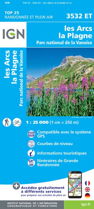
3532ET - LES ARCS LA PLAGNE PARC NATIONAL DE LA VANOISE
Editor : IGN
Collection : TOP 25 ET SÉRIE BLEUE
Scale : 1:25 000
13.90€

TOP75004 - BEAUFORTAIN MASSIF DU MONT BLANC
Editor : IGN
Collection : TOP 75
Scale : 1:75 000
9.80€

TOP75003 - MASSIF DE LA VANOISE
Editor : IGN
Collection : TOP 75
Scale : 1:75 000
9.80€

TOP100D73 - SAVOIE CHAMBÉRY ALBERTVILLE PARC NATIONAL DE LA VANOISE PNR DU MASSIF DES BAUGES
Editor : IGN
Collection : TOP 100
Scale : 1:100 000
8.40€

202 JURA ALPES DU NORD
Editor : IGN
Collection : TOP 200
Scale : 1:200 000
6.80€

D38 ISÈRE
Editor : IGN
Collection : CARTES DÉPARTEMENTALES IGN
Scale : 1:150 000
5.90€

NR15 AUVERGNE-RHÔNE-ALPES RECTO/VERSO MASSIF ALPIN
Editor : IGN
Collection : CARTES RÉGIONALES IGN
Scale : 1:250 000
6.80€

NR14 AUVERGNE-RHÔNE-ALPES RECTO/VERSO MASSIF CENTRAL
Editor : IGN
Collection : CARTES RÉGIONALES IGN
Scale : 1:250 000
6.80€

EUROPE
Editor : IGN
Collection : DÉCOUVERTE DES PAYS DU MONDE IGN
Scale : 1:2 500 000
7.00€
Data author

proposed by
Parc national de la Vanoise
Ratings and reviews
To see around