Alert
Alerts
Description
Map
Ratings and reviews
See around
The Dôme de Bellecôte and Aliet

Credit
: PNV - JORDANA Régis
Description
"Upon departing, on your right, you follow the Dôme de Bellecôte (3,417 m in altitude). In winter, several of the paths facing you are used for off-piste skiing from the area of La Plagne. At the eastern end, you can see the summit of Aliet (3,109 m in altitude). Its name came from ""alye"", meaning needle in Savoyard patois. From this point of view, it appears in the form of a pyramid of rock. It requires special climbing techniques to scale. It is rated as difficult."
Technical Information
Lat, Lng
45.51563056.8133444
Coordinates copied
Point of Interest updated on 24/12/2025
Altimetric profile
IGN cards

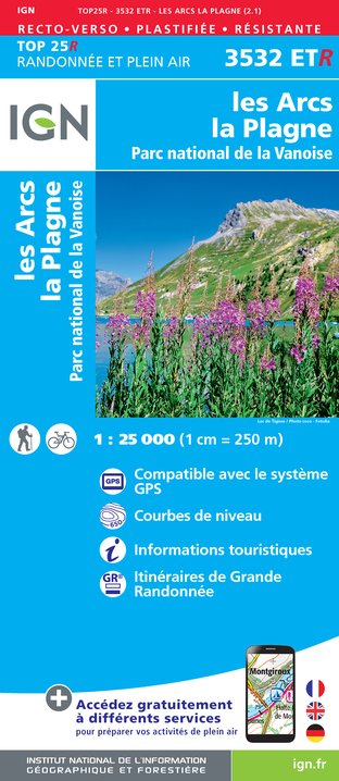
3532ETR - LES ARCS LA PLAGNE RESISTANTE PARC NATIONAL DE LA VANOISE
Editor : IGN
Collection : TOP 25 RÉSISTANTE
Scale : 1:25 000
17.20€

3532ET - LES ARCS LA PLAGNE PARC NATIONAL DE LA VANOISE
Editor : IGN
Collection : TOP 25 ET SÉRIE BLEUE
Scale : 1:25 000
13.90€

TOP75004 - BEAUFORTAIN MASSIF DU MONT BLANC
Editor : IGN
Collection : TOP 75
Scale : 1:75 000
9.80€

TOP75003 - MASSIF DE LA VANOISE
Editor : IGN
Collection : TOP 75
Scale : 1:75 000
9.80€

TOP100D73 - SAVOIE CHAMBÉRY ALBERTVILLE PARC NATIONAL DE LA VANOISE PNR DU MASSIF DES BAUGES
Editor : IGN
Collection : TOP 100
Scale : 1:100 000
8.40€

202 JURA ALPES DU NORD
Editor : IGN
Collection : TOP 200
Scale : 1:200 000
6.80€

D38 ISÈRE
Editor : IGN
Collection : CARTES DÉPARTEMENTALES IGN
Scale : 1:150 000
5.90€

NR15 AUVERGNE-RHÔNE-ALPES RECTO/VERSO MASSIF ALPIN
Editor : IGN
Collection : CARTES RÉGIONALES IGN
Scale : 1:250 000
6.80€

NR14 AUVERGNE-RHÔNE-ALPES RECTO/VERSO MASSIF CENTRAL
Editor : IGN
Collection : CARTES RÉGIONALES IGN
Scale : 1:250 000
6.80€

EUROPE
Editor : IGN
Collection : DÉCOUVERTE DES PAYS DU MONDE IGN
Scale : 1:2 500 000
7.00€
Data author

proposed by
Parc national de la Vanoise
Ratings and reviews
To see around