Alert

Alerts

To see around
See more
Open
Close
Show
Show
Show
Show
Show
Show
Show
Show
Show
Show
Show

Oups... It would appear that Cirkwi does not have permission to use your location.

OSM Map
OSM Map
OpenStreetMap
Satellite images
Satellite images
Google
GoogleMap Map
GoogleMap Map
Google
Hybrid Map
Hybrid Map
Google
IGN - France
IGN - France
IGN
Cadastral Plan
Cadastral Plan
IGN
Description
Map
Ratings and reviews
See around

Le Semnoz

Le Semnoz
Le Semnoz
Le Semnoz

Description

Le Semnoz mountain, a vast protected area, 16 km long and stretching from an altitude of 450 m to one of 1,699 m. Close to Lake Annecy, it offers a vast terrain for play and discovery in all 4 seasons (skiing, snowshoeing, walks, mountain biking...).
Le Semnoz, to the north of the Bauges mountains and bordering the western bank of Lake Annecy, is a concentration of activities.
In winter, the ski resort offers an ideal terrain for practicing cross-country skiing, downhill skiing, snowshoeing and snowkiting.
In summer, make way for the alpine pastures with their animals, farms and cheese production. It is also the chance to go for a wander along the many walking paths and mountain bike circuits. The resort offers an alpine slide and various downhill activities (devalkart, runix...). You can also discover the botanical path and rock climbing sites.
All year round, Le Semnoz - with the Crêt de Chatillon as its highest point - offers a viewpoint indicator and 360-degree view. A magnificent site for admiring the French Alps, with Mont-Blanc in the background.

Technical Information

Lat, Lng
45.7972426.104708
Coordinates copied
Altitude
1699 m
Point of Interest updated on 21/01/2025

Altimetric profile

Additional information

Price(s)

Free access.

Updated by

Office de Tourisme du Lac d'Annecy - 20/01/2025
www.lac-annecy.com
Report a problem

Open period

All year round.

Contact

Phone : 04 50 01 20 30

Email : info@semnoz.fr

Website : www.semnoz.fr

Facebook : www.facebook.com/lesemnoz

IGN cards
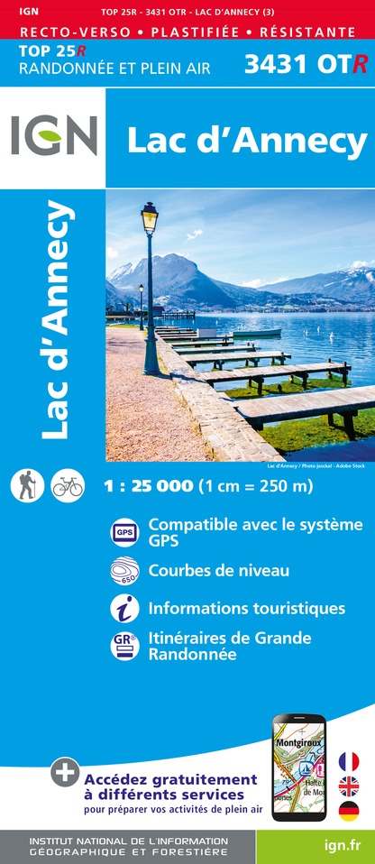
3431OTR - LAC D'ANNECY RESISTANTE
Editor : IGN
Collection : TOP 25 RÉSISTANTE
Scale : 1:25 000
17.20€
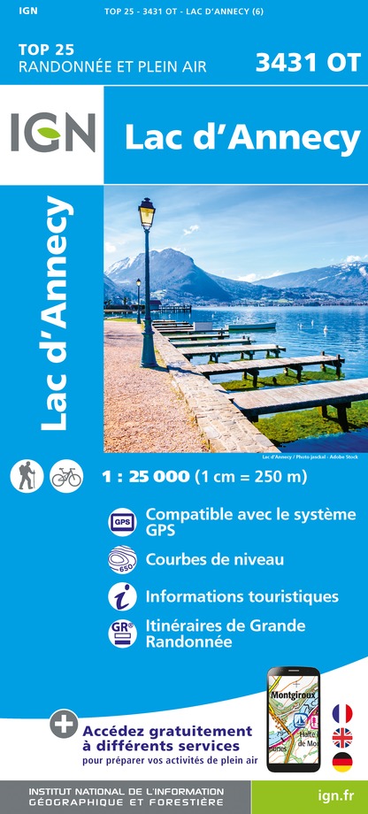
3431OT - LAC D'ANNECY
Editor : IGN
Collection : TOP 25 ET SÉRIE BLEUE
Scale : 1:25 000
13.90€
TOP75032 - CHAINE DES ARAVIS - MASSIF DES BAUGES
Editor : IGN
Collection : TOP 75
Scale : 1:75 000
9.80€
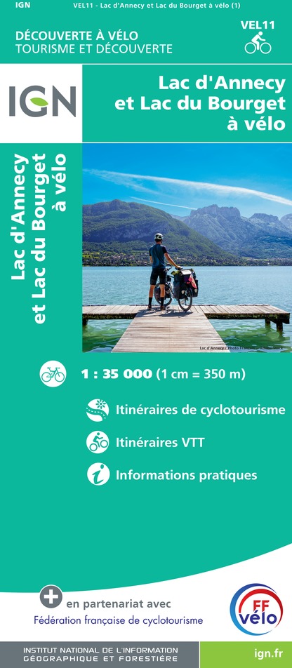
VEL11 - LAC D'ANNECY ET LAC DU BOURGET A VELO
Editor : IGN
Collection : DECOUVERTE A VELO
Scale : 1:35 000
9.10€
TOP100D73 - SAVOIE CHAMBÉRY ALBERTVILLE PARC NATIONAL DE LA VANOISE PNR DU MASSIF DES BAUGES
Editor : IGN
Collection : TOP 100
Scale : 1:100 000
8.40€
TOP100D74 - HAUTE-SAVOIE ANNECY THONON-LES-BAINS MASSIF DU MONT BLANC CHAÎNE DES ARAVIS
Editor : IGN
Collection : TOP 100
Scale : 1:100 000
8.40€
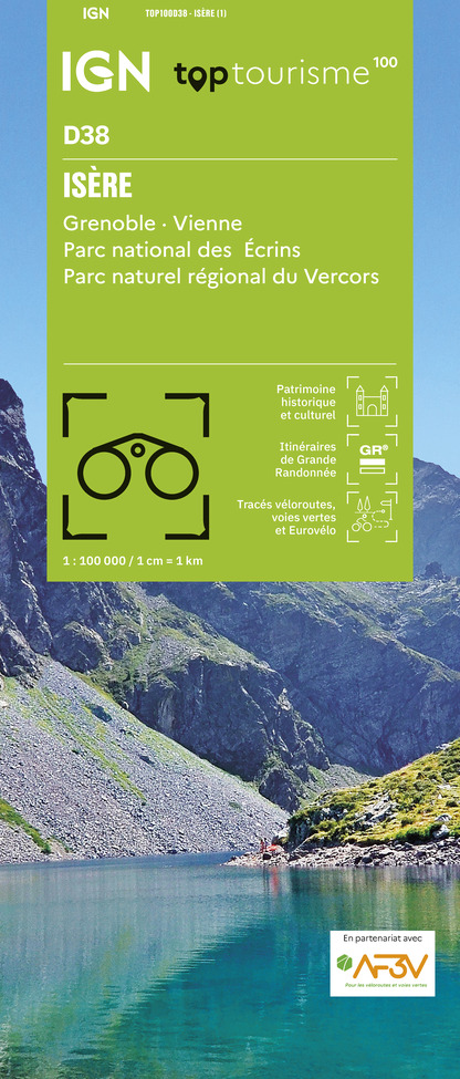
TOP100D38 - ISÈRE GRENOBLE VIENNE PARC NATIONAL DES ÉCRINS PARC NATUREL RÉGIONAL DU VERCORS
Editor : IGN
Collection : TOP 100
Scale : 1:100 000
8.40€
202 JURA ALPES DU NORD
Editor : IGN
Collection : TOP 200
Scale : 1:200 000
6.80€
89026 - GRANDES TRAVERSÉES DU JURA - GTJ
Editor : IGN
Collection : DECOUVERTE DES CHEMINS
Scale : 1:105 000
9.10€
D01-69 AIN RHÔNE
Editor : IGN
Collection : CARTES DÉPARTEMENTALES IGN
Scale : 1:150 000
5.90€
D38 ISÈRE
Editor : IGN
Collection : CARTES DÉPARTEMENTALES IGN
Scale : 1:150 000
5.90€
NR15 AUVERGNE-RHÔNE-ALPES RECTO/VERSO MASSIF ALPIN
Editor : IGN
Collection : CARTES RÉGIONALES IGN
Scale : 1:250 000
6.80€
NR14 AUVERGNE-RHÔNE-ALPES RECTO/VERSO MASSIF CENTRAL
Editor : IGN
Collection : CARTES RÉGIONALES IGN
Scale : 1:250 000
6.80€
EUROPE
Editor : IGN
Collection : DÉCOUVERTE DES PAYS DU MONDE IGN
Scale : 1:2 500 000
7.00€
SUISSE
Editor : IGN
Collection : DÉCOUVERTE DES PAYS DU MONDE IGN
Scale : 1:303 000
7.00€

Data author

Ratings and reviews

To see around
See more
Open
Close
Show
Show
Show
Show
Show
Show
Show
Show
Show
Show
Show
Caution!
We have no information on the difficulty of this circuit. You may encounter some surprises along the way. Before you go, please feel free to inquire more and take all necessary precautions. Have a good trip! 🌳🥾